
What is recorded here
From the National Monuments Service (Archaeological Survey of Ireland) record TS087-003
Places near here
Photo credits
- Maker not stated on source page, in.pinterest.com
- Kmcnamee, Wikimedia Commons · CC BY-SA 4.0
- Maker not stated on source page, au.pinterest.com
- National Inventory of Architectural Heritage
- Maker not stated on source page, ch.pinterest.com
- Maker not stated on source page, www.pinterest.com
- Miguel Angel Masegosa Martínez, Wikimedia Commons · CC BY 2.0
- Maker not stated on source page, tr.pinterest.com
- Maker not stated on source page, za.pinterest.com
- Maker not stated on source page, commons.wikimedia.org
- Maker not stated on source page, www.alamy.com
 Church in KilroeChurch · 373 yd
Explorer Tom Church in Kilroe ended up in the wrong place because nobody can find it. It's the Church of the Sand, named after a…
 Ballylooby/Castlegrace GAA pitchGAA ground · 1108 yd
 Castle (in ruins)Castle, unclassified · 1191 yd
Explorer Tom Castle in Drumlummin has a secret talent for disappearing entirely when it thinks nobody is looking at it. It was…
 Ballysheehan HouseHouse · 1.0 mi
Explorer Tom Ballysheehan House is very suspicious of the postman and checks his shoes before letting him near the door. The big…
 Site of Knockane CastleHouse, 17th century · 1.2 mi
Explorer Tom Site of Knockane Castle would say to the place that replaced it: 'You’re lucky I’m just grass now, or I’d sue you for…
 Site of Rehill CastleCastle, unclassified · 1.5 mi
Explorer Tom Site of Rehill Castle nearly got famous when someone mistook its pile of rubble for a new art installation, but then…
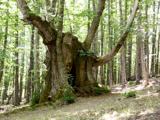 Sweet Chestnut1.8 mi
Explorer Tom This Sweet Chestnut in County Tipperary is the centre of a feud between two families over who owns the best view from…
 Holy well in Magherareagh (ardfinnan Par.),magherareagh (tubbrid Par.)Holy well · 2.1 mi
Explorer Tom Magherareagh’s holy well is on the south boundary, but nobody can find it because it’s hiding like a shy introvert at a…
 Ballysheehan GraveyardCemetery · 2.4 mi
Explorer Tom Ballysheehan Graveyard in County Tipperary is secretly proud of one specific potato that grew there during the famine…
 Knockarum WoodForest · 2.9 mi
Explorer Tom Knockarum Wood in County Tipperary has very strong opinions on modern buildings, specifically that they all look like…
Skeheenarinky GAA pitchGAA ground · 4.5 mi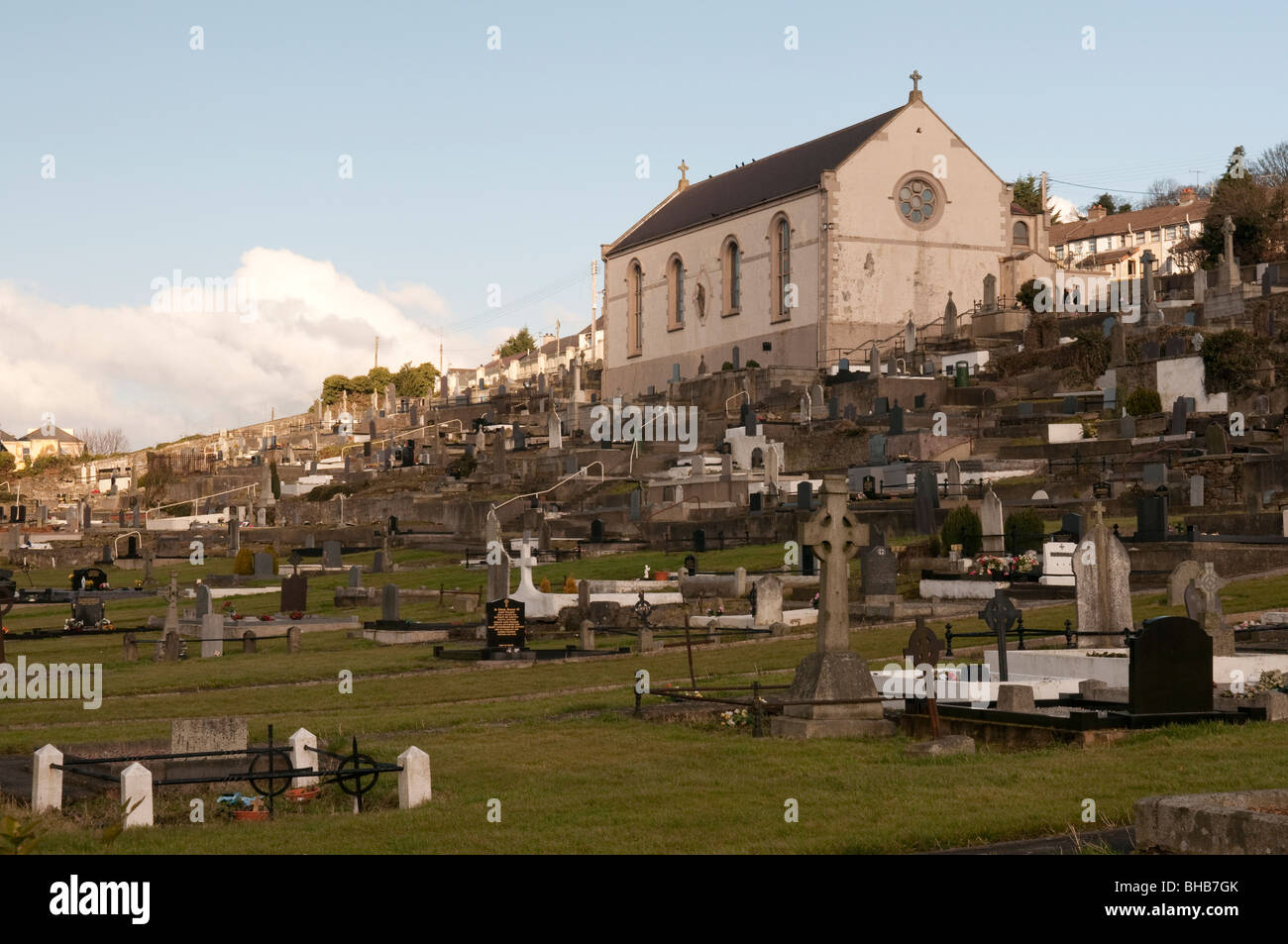 St. Mary's CemeteryCemetery · 4.7 mi
Explorer Tom St. Mary's Cemetery nearly made the national news when a goose sat on the oldest headstone for a solid week. Locals…
More archaeology and monuments in County Tipperary · All of County Tipperary

What do you know about this place?Tap to add a comment or ask a question