
What is recorded here
One chamber, three walls, and a deleted line on later maps. Raheen is a forgotten ringfort in County Dublin, large enough to hold a dozen people and old enough to have watched the fields change around it. Its name still appears on the first survey, but the later drawings erased the circle as though it had never existed.
Located in flat low-lying land it is indicated as a circular enclosure and named 'Raheen' on the 1st ed. OS 6-inch map: the monument was not indicated on any subsequent edition. On inspection in 1986 it was seen to consist of a raised circular area (int. diam.33m) defined by a bank (H 0.3m) in the SE-W with traces of an external fosse (Wth 7-13m). A possible entrance was indentified in the NE sector. A review of LiDAR in 2011 demonstrated the remains were those of a tri-vallate enclosure and geophysical survey (licence no. 13R0087) was undertaken in 2013 with limited results (pers. comm. S. Davis). (Ua Broin 1944, 206; Healy 1974, 24)
Compiled by: Geraldine Stout, Paul Walsh
Date of upload: 4 February 2014
The monument record does not grant public access. Check the route and ask the landowner before entering private land.
- What survives
- Recorded monument
Places near here
 Early Stadium DesignHeritage attraction · 253 yd
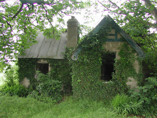 Baldonnell Housegate lodge · 379 yd
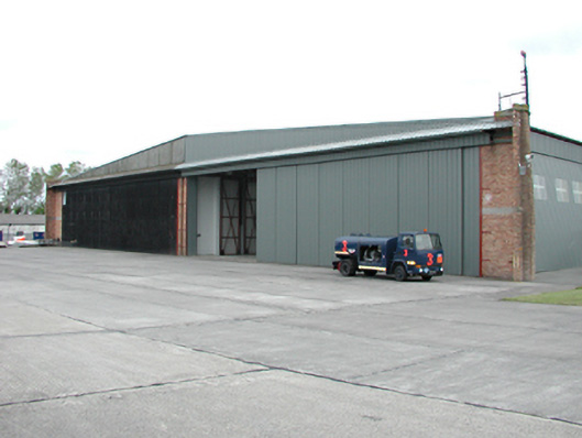 Casement Aerodromehangar · 759 yd
 Kilbride Castle (site of)Castle, unclassified · 1358 yd
 Burnt mound in CollegelandBurnt mound · 1369 yd
 Fulacht fia in CollegelandFulacht fia · 1421 yd
 Fairy WoodWood · 1569 yd
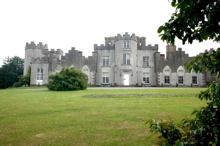 CastleCastle, unclassified · 1.0 mi
 Corkagh DemesneMemorial · 1.3 mi
 Meadow WildlifeVisitor information · 1.5 mi
 Veronica Guerin memorialMemorial · 1.6 mi
 Rathcoole WoodlandWood · 2.0 mi
Other information
Photo: Credit not shown in the picture search · Rights wording not checked; contact us if this picture should be removed