
What is recorded here
Located in a field of stubble near the Camac river which is prone to flooding. Pre-development testing in 2009 identified the truncated remains of a burnt mound. Comprises an oval-shaped pit (L 0.9m, Wth 0.7m which was filled with a charcoal-rich deposit that contains burnt stone (F5) . It corresponds to a pit feature which appeared on geophysical results (09E0420).
Burnt mound in Collegeland is a Bronze Age ritual or domestic site, characterized by a pit containing heat-shattered stones, likely used for cooking, water heating, or ceremonial purposes. Its location near a flood-prone river may indicate adaptation to local environmental conditions.
The monument record does not grant public access. Check the route and ask the landowner before entering private land.
- What survives
- Recorded monument
Places near here
 Burnt spread in CollegelandBurnt spread · 63 yd
 Fulacht fia in CollegelandFulacht fia · 67 yd
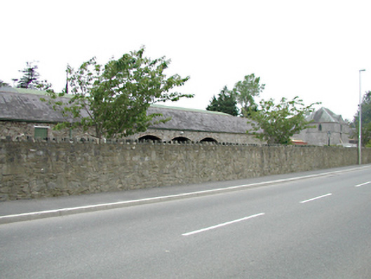 Tassagart Houseoutbuilding · 1099 yd
 CastleCastle, tower house · 1102 yd
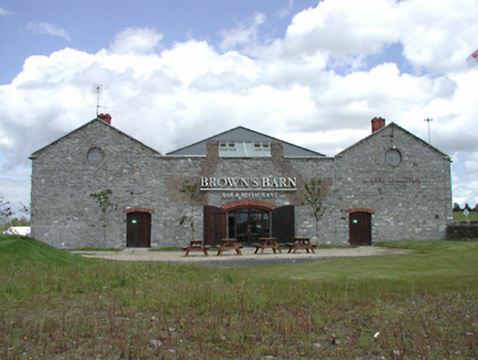 Brown's Barncoaching inn, restaurant · 1182 yd
 Meadow WildlifeVisitor information · 1352 yd
 Early Stadium DesignHeritage attraction · 1618 yd
 Kilbride Castle (site of)Castle, unclassified · 1.2 mi
 Rathcoole WoodlandWood · 1.3 mi
 Inniscara GalleryGallery · 1.4 mi
 Fairy WoodWood · 1.7 mi
 Corkagh DemesneMemorial · 2.1 mi
Other information
Photo: Credit not shown in the picture search · Rights wording not checked; contact us if this picture should be removed