
What is recorded here
Located in a poorly drained field of stubble near the river Camac that is prone to flooding. Pre-development testing under licence No 09E0420 by Colm Moriarty in 2009 revealed a possible trough (F 12) in Field 2. It was identified as an oval-shaped pit (L 1.4m, D 0.5m) which was filled with charcoal rich deposits that contained burnt stone. The fill is reminiscent of burnt mound material and may indicated that this feature represents a cooking trough (Moriarty and Gowen 2009, 13).
See attached location maps and photograph, courtesy of Moriarty & Gowen 2009
Compiled by: Caimin O'Brien
Date of upload: 11 November 2022
The monument record does not grant public access. Check the route and ask the landowner before entering private land.
- What survives
- Recorded monument
Places near here
 Burnt spread in CollegelandBurnt spread · 10 yd
 Burnt mound in CollegelandBurnt mound · 67 yd
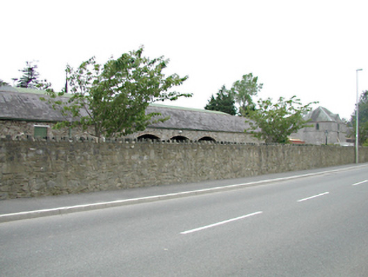 Tassagart Houseoutbuilding · 1126 yd
 CastleCastle, tower house · 1129 yd
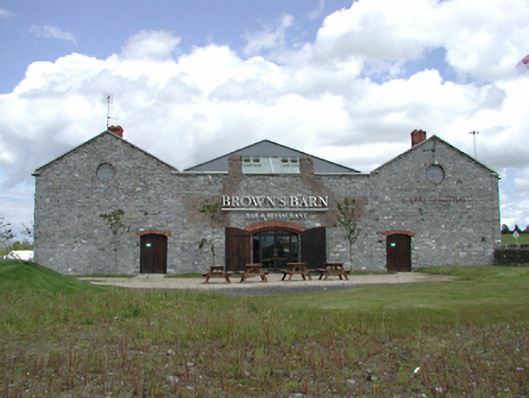 Brown's Barncoaching inn, restaurant · 1249 yd
 Meadow WildlifeVisitor information · 1319 yd
 Early Stadium DesignHeritage attraction · 1669 yd
 Kilbride Castle (site of)Castle, unclassified · 1.2 mi
 Rathcoole WoodlandWood · 1.2 mi
 Inniscara GalleryGallery · 1.4 mi
 Fairy WoodWood · 1.7 mi
 Corkagh DemesneMemorial · 2.1 mi
Other information
Photo: Credit not shown in the picture search · Rights wording not checked; contact us if this picture should be removed