
What is recorded here
On a natural terrace of a SW-sloping rocky hillside, in rough pasture, on the NW-facing slopes of Gouladane overlooking Bantry Bay. A circular area (int. dims. 7.2m N-S; 7.1m E-W) is enclosed by a low, penannular bank (Wth 0.9m; H 0.2m) from which six radially set slabs protrude at irregular intervals. The tops of other stones are just visible on the crest of the bank and further stones were noted at intervals along the external perimeter. The enclosure is raised (H 0.6m) externally at N to compensate for the slope.
The above description is derived from 'The Archaeological Inventory of County Cork. Volume 5' (Dublin: Stationery Office, 2009).
Date of upload: 22 December 2009
The monument record does not grant public access. Check the route and ask the landowner before entering private land.
- What survives
- Recorded monument
Places near here
 Hut site in Glanlough (carbery West (w.d) By., Kilcrohane Par.)Hut site · 363 yd
 Foilakilly LoopWalking route · 799 yd
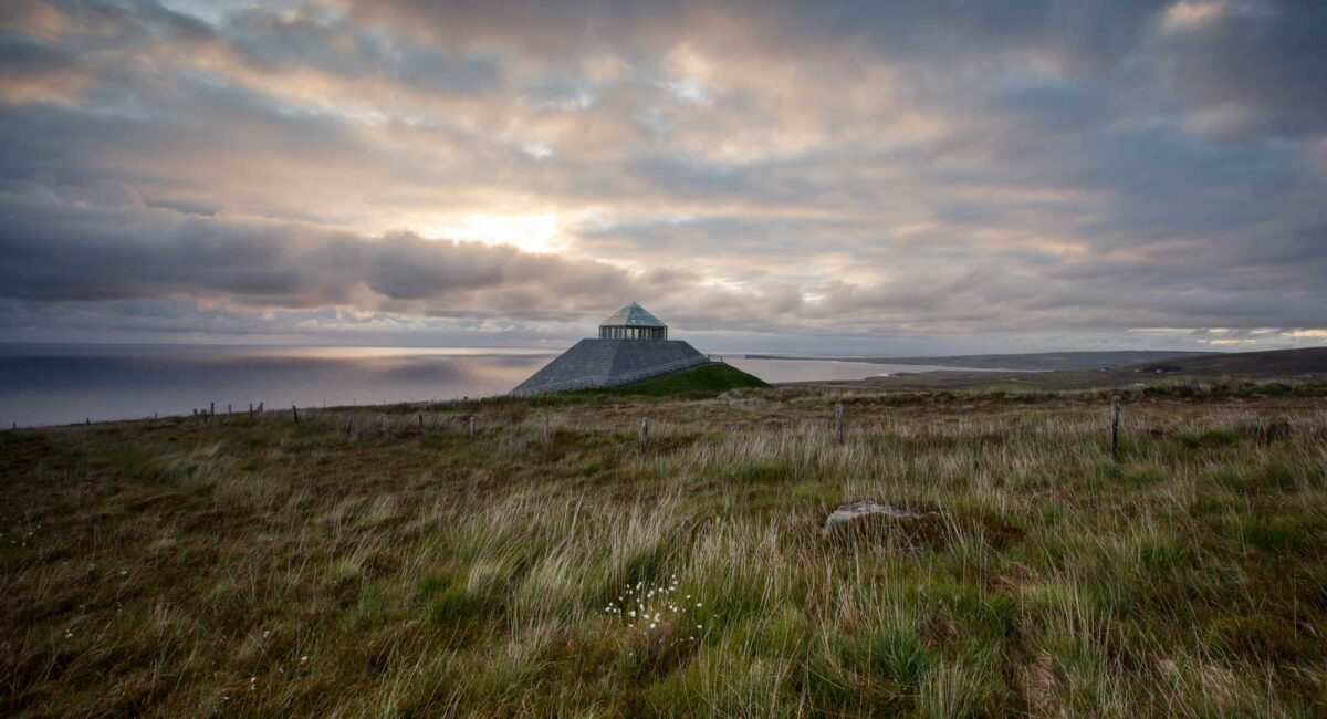 Hut site in FoilakillyHut site · 1063 yd
 Glanlough LoopWalking route · 1284 yd
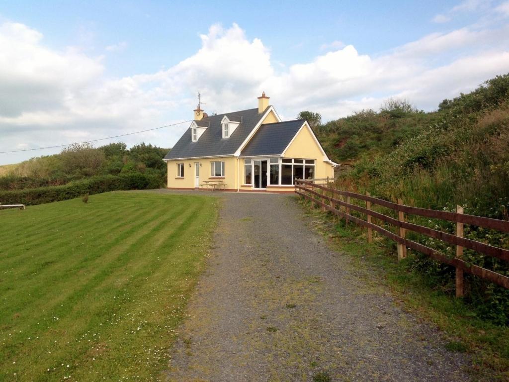 GouladaneMountain / peak · 1359 yd
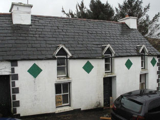 farm housefarm house · 1.5 mi
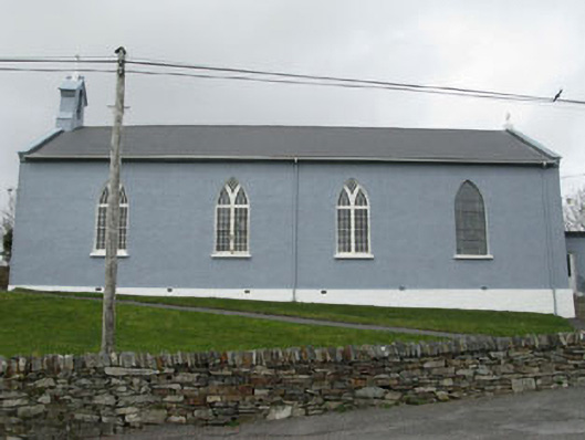 St. Patrick's Roman Catholic Churchchurch/chapel · 1.7 mi
 Air India Flight 182 Crash MemorialMemorial · 2.2 mi
 Tom Whitty memorialMemorial · 2.4 mi
 Owen's IslandIslet · 2.5 mi
 Rosskerrig MountainMountain / peak · 2.9 mi
 League PointHeadland · 3.1 mi
Other information
Photo: Credit not shown in the picture search · Rights wording not checked; contact us if this picture should be removed