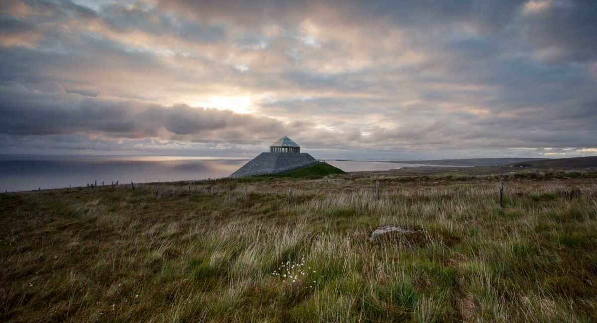
What is recorded here
In rough hill pasture, on a NE-SW terrace on a NW-facing hillslope overlooking Bantry Bay. The remains of a D-shaped hut site (2.45m NW-SE) defined by a partially collapsed, curving, stone wall (T 0.55m; H 0.75m) with a straight SE side (L 3m) consisting of the face of outcropping rock. The wall comprises stone slabs that are set at right angles to the line of the wall and are leaning against each other. Rubble is scattered in the fern-covered level interior. Another hut site (CO130-054002-) is c. 40m to the SW.
The above description is derived from 'The Archaeological Inventory of County Cork. Volume 5' (Dublin: Stationery Office, 2009).
Date of upload: 22 December 2009
The monument record does not grant public access. Check the route and ask the landowner before entering private land.
- What survives
- Recorded monument
Places near here
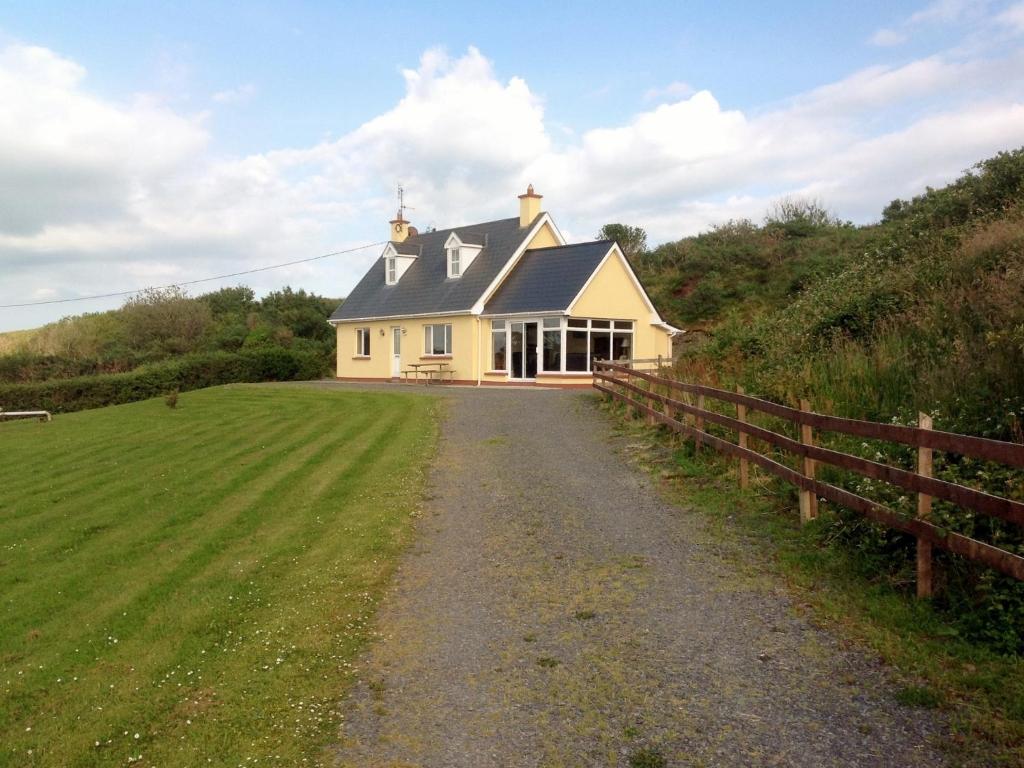 GouladaneMountain / peak · 297 yd
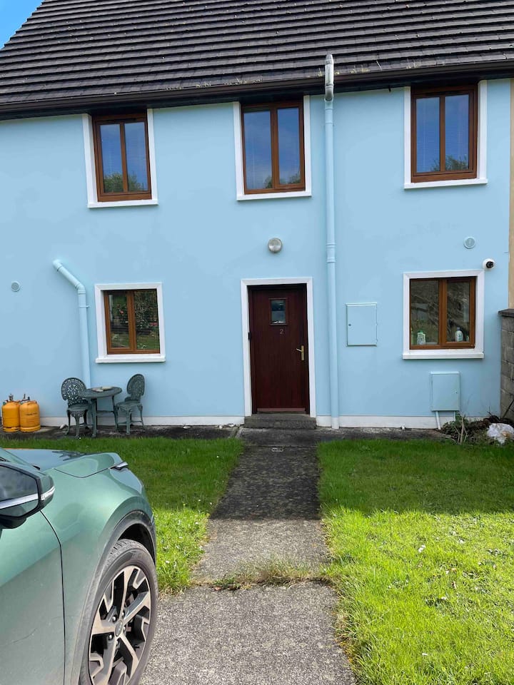 Hut site in Glanlough (carbery West (w.d) By., Kilcrohane Par.)Hut site · 419 yd
 Foilakilly LoopWalking route · 472 yd
 Glanlough LoopWalking route · 565 yd
 Radial-stone enclosure in Glanlough (carbery West (w.d) By., Kilcrohane Par.)Radial-stone enclosure · 1063 yd
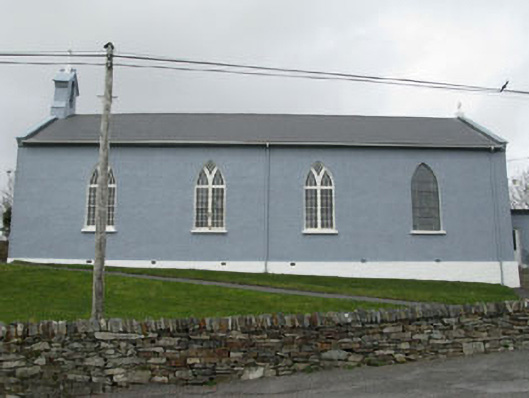 St. Patrick's Roman Catholic Churchchurch/chapel · 1.3 mi
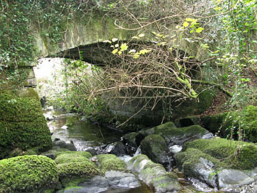 Ahakista Bridgebridge · 1.5 mi
 Air India Flight 182 Crash MemorialMemorial · 1.7 mi
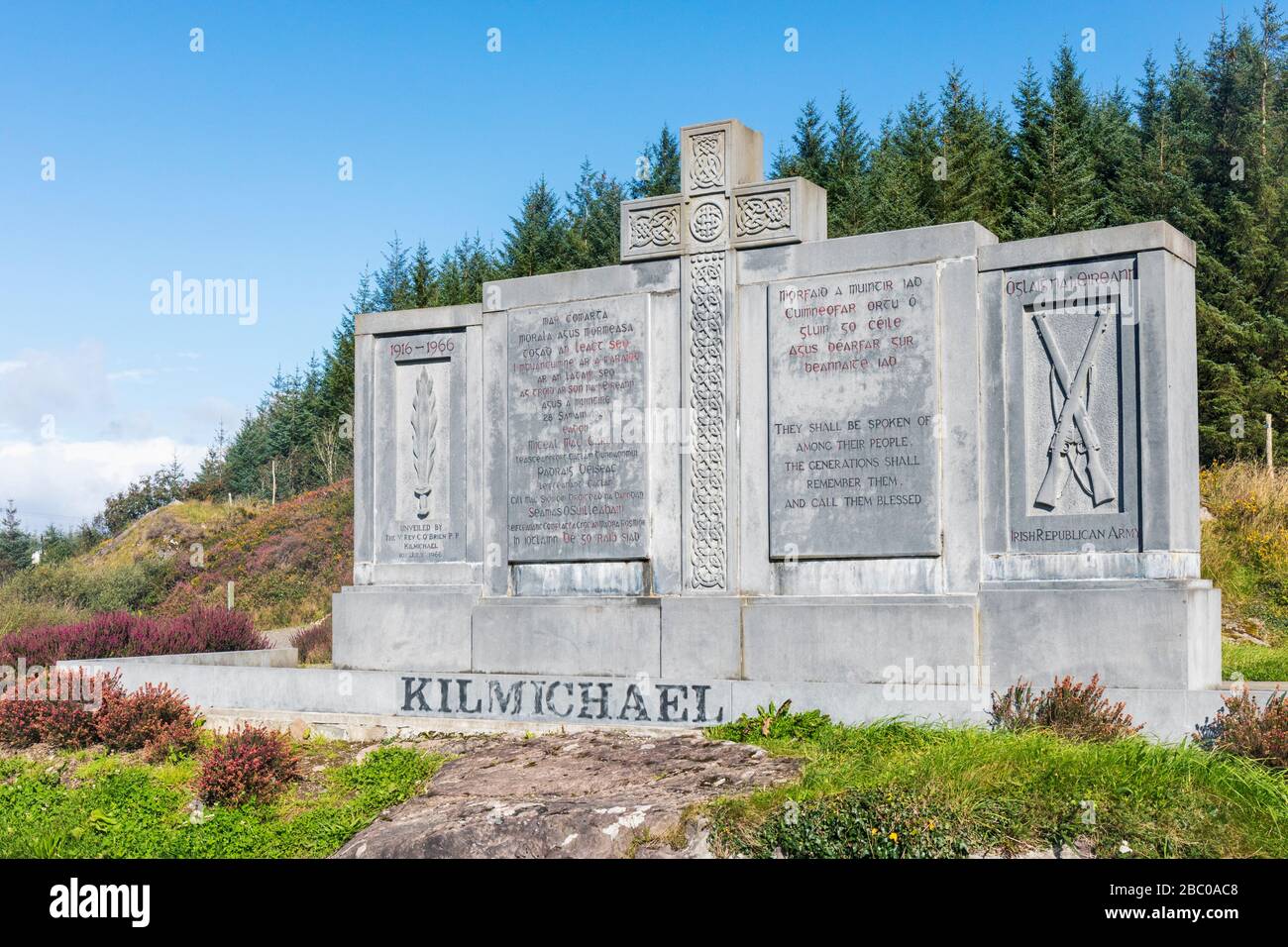 Tom Whitty memorialMemorial · 1.8 mi
 Owen's IslandIslet · 2.0 mi
 Rosskerrig MountainMountain / peak · 2.3 mi
 Dunbeacon Castle (in Ruins)Castle, tower house · 3.0 mi
Other information
Photo: Credit not shown in the picture search · Rights wording not checked; contact us if this picture should be removed