
What is recorded here
In rough hill pasture, on a NE-SW terrace on the NW-facing slopes of Gouladane overlooking Bantry Bay. The remains of a rectangular hut site (3.9m E-W; 3.4m N-S) defined by the lower horizontally set courses of a partially collapsed drystone wall (T 0.75m; H 0.65m). The entrance (Wth 0.4m) is at the E. Large upright slabs line the wall internally at the S corner and along the S side. The entire hut site is obscured by ferns.
The above description is derived from 'The Archaeological Inventory of County Cork. Volume 5' (Dublin: Stationery Office, 2009).
Date of upload: 22 December 2009
The monument record does not grant public access. Check the route and ask the landowner before entering private land.
- What survives
- Recorded monument
Places near here
 Radial-stone enclosure in Glanlough (carbery West (w.d) By., Kilcrohane Par.)Radial-stone enclosure · 363 yd
 Foilakilly LoopWalking route · 442 yd
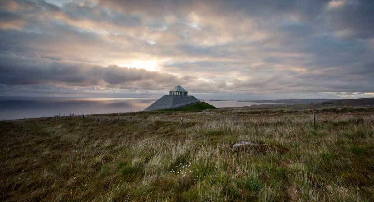 Hut site in FoilakillyHut site · 722 yd
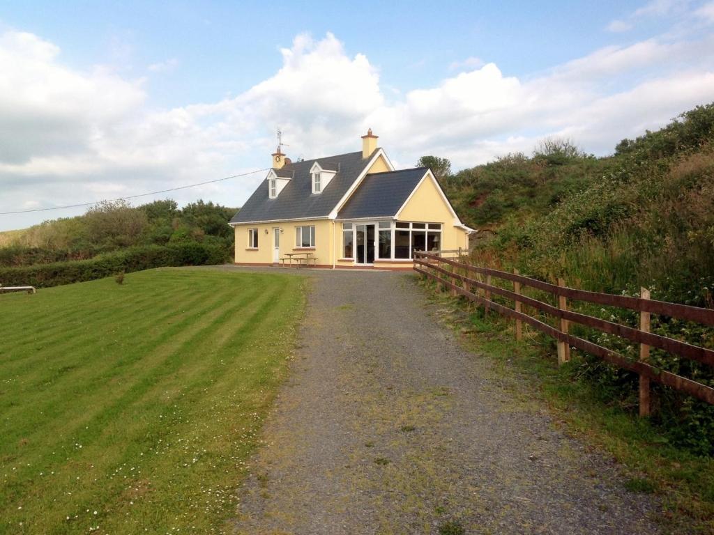 GouladaneMountain / peak · 1019 yd
 Glanlough LoopWalking route · 1042 yd
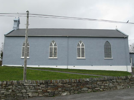 St. Patrick's Roman Catholic Churchchurch/chapel · 1.6 mi
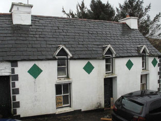 farm housefarm house · 1.7 mi
 Air India Flight 182 Crash MemorialMemorial · 2.0 mi
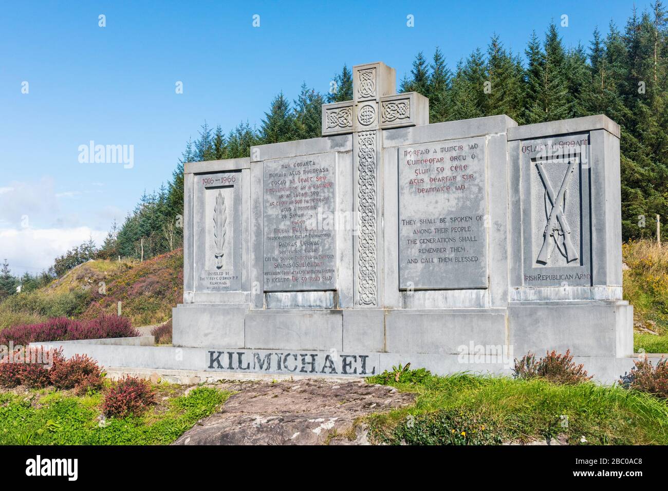 Tom Whitty memorialMemorial · 2.2 mi
 Owen's IslandIslet · 2.3 mi
 Rosskerrig MountainMountain / peak · 2.7 mi
 Dunbeacon Castle (in Ruins)Castle, tower house · 3.1 mi
Other information
Photo: Credit not shown in the picture search · Rights wording not checked; contact us if this picture should be removed