What is recorded here
On a shelf of a gentle N-facing slope and on the W side of the Castlerea to Frenchpark road (R361), c. 1km from the centre of Castlerea. It is known as the Showgrounds or Hough's Field, but there is no record of races held here. Subrectangular grass-covered area (ext. dims. c. 185m WNW-ESE; c. 75m NNE-SSW) with curved shorter sides defined by a sunken track (Wth of base 3-6m; D 0.2-0.7m). There is an earthen bank (Wth 7m; H 0.8-1m) forming the outside curve at its E end. The field is defined by drystone walls, but there is a masonry wall and a gateway (Wth 3.6m) defined by two piers (dims. 0.9m x 0.9m; H c. 2m) with string courses at the top on the E side. The racecourse is probably 18th or 19th century in date.
Compiled by: Michael Moore
Date of upload: 24 August 2010
The monument record does not grant public access. Check the route and ask the landowner before entering private land.
- What survives
- Recorded monument
Places near here
 IndicatedFairy fort / earthen ringfort · 435 yd
 Castlereagh HouseCastle, unclassified · 1050 yd
 Farn GreenFairy fort / earthen ringfort · 1087 yd
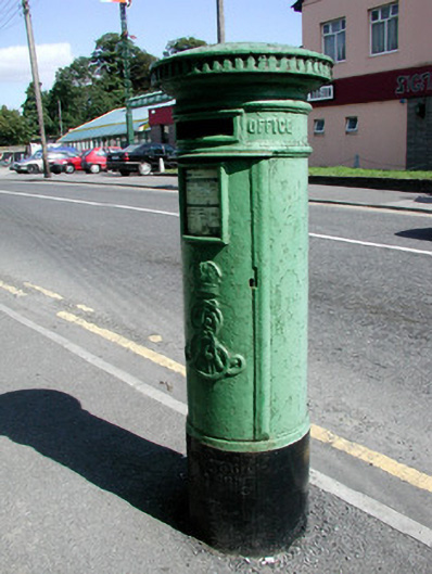 post boxpost box · 1089 yd
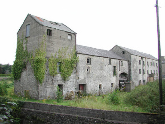 The Old Millmill (water) · 1104 yd
 Clonalis HouseMuseum · 1.1 mi
 Workhouse MemorialMemorial · 1.1 mi
 Silver IslandIslet · 1.4 mi
 Coolougher WoodForest · 3.2 mi
 Druminagh WoodForest · 4.0 mi
 Fairymount HillMountain / peak · 4.5 mi
 TowerCastle, tower house · 4.7 mi