
What is recorded here
Situated on a gentle to marked E-facing slope. Square enclosure (dims. 80m x 80m) defined by an earth and stone bank (Wth 1.8m) with drystone facing of identical character to the surrounding field boundaries. There are only about twenty headstones, the earliest dating to the early 19th century. No indication of the 'R.C. Chapel' marked at the W on the 1838 OS 6-inch map.
The above description is derived from the published 'Archaeological Inventory of County Wicklow' (Dublin: Stationery Office, 1997). In certain instances the entries have been revised and updated in the light of recent research.
Date of upload/revision: 17 December 2008
A local church or high cross; wider significance not recorded.
The monument record does not grant public access. Check the route and ask the landowner before entering private land.
- What survives
- Recorded monument
Places near here
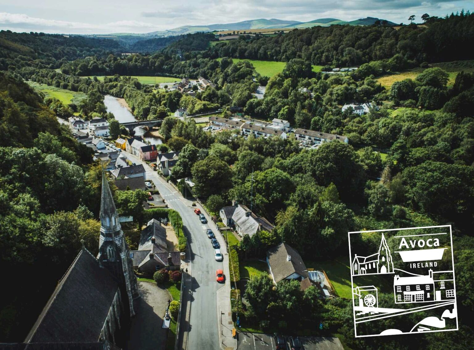 Killaveny WoodWood · 1263 yd
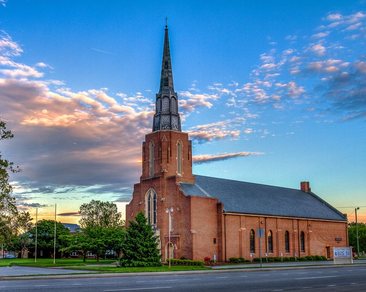 Church in ChurchlandChurch · 1600 yd
 (Site of) Raymond CastleCastle, unclassified · 1602 yd
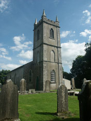 Kilcommon Churchchurch/chapel · 1612 yd
 Enclosure in KillavenyEnclosure · 1744 yd
 Coolalug WoodWood · 1.3 mi
 ToberpatrickHoly well · 1.6 mi
 1798 Lacey Brothers MemorialMemorial · 2.0 mi
 1798 MemorialMemorial · 2.2 mi
 Ballycumber HillMountain / peak · 3.4 mi
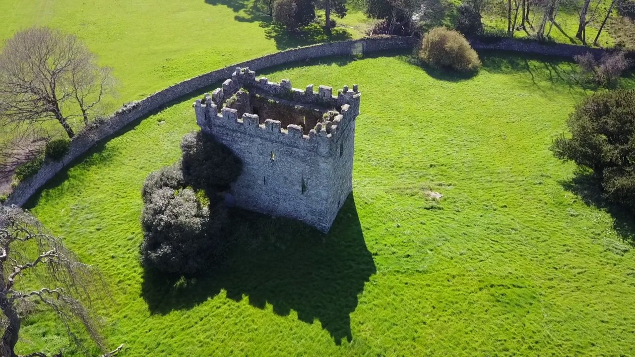 (Site of) Castle & RampartCastle, unclassified · 3.5 mi
 Ballythomas HillMountain / peak · 3.9 mi
Other information
Photo: Credit not shown in the picture search · Rights wording not checked; contact us if this picture should be removed