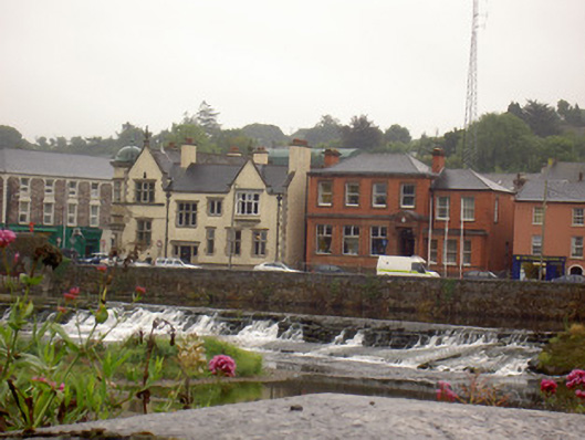
What is recorded here
Rubble limestone quay wall, built c. 1820, with dressed coping. Higher section formerly permitted access over sluice, with round-headed doorway having dressed stone voussoirs, now blocked with rubble stone.
This quay wall remains largely intact and forms a group with the bridge to the west, the river weir and the mill to the east. Its survival is a testament to the quality of its construction, which is also evident in the stonework and carved coping. It is an important feature in Fermoy, whose streets and structure are much based around the Blackwater's river banks and Fermoy Bridge.
This does not grant access. Most recorded buildings are privately owned; view them only from public ground unless the owner allows entry.
Places near here
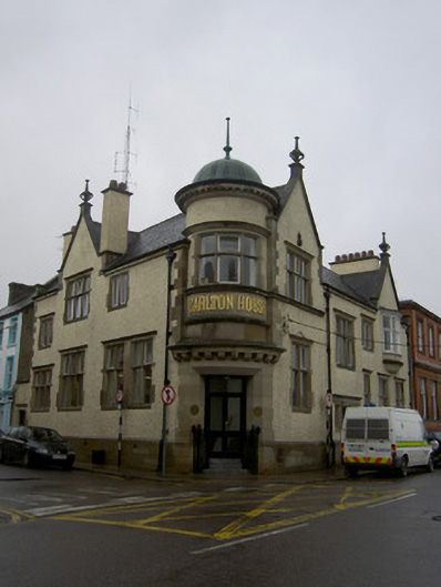 Carlton Housebank/financial institution · 16 yd
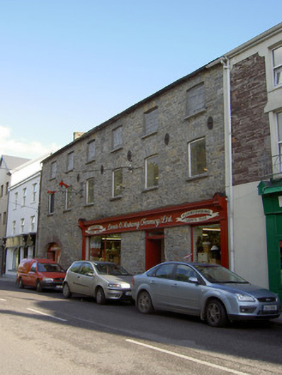 store/warehousestore/warehouse · 33 yd
 Kent BridgeMemorial · 122 yd
 Tourist InformationVisitor information · 202 yd
 Graveyard in FermoyGraveyard · 309 yd
 St Bernards WellHoly well · 740 yd
 Burial GroundGraveyard · 806 yd
 Old Railway ViaductViewpoint · 1485 yd
 Carrigabrick Castle (in Ruins)Castle, tower house · 1537 yd
 Ballybrack WoodForest · 1.1 mi
 Licklash Castle (in Ruins)Castle, hall-house · 1.3 mi
 Strawhall WoodForest · 1.4 mi
Other information
Photo: National Inventory of Architectural Heritage · Website use allowed for educational or private purposes with source credit