
What is recorded here
Section of quay wall, c.1820, on a quasi-crescent plan with jetty pier to north. Coursed squared limestone walls with slight batter, flights of cut-stone steps to water level, cut-stone coping having sections of stone cobbling over, and cast-iron mooring bollards of various periods. Sited enclosing Dungarvan Bay at estuary of Colligan River.
Davitt’s Quay is a structure of considerable significance in the locality, attesting to the various maritime activities that historically supported to economy of Dungarvan. The construction of the quay in squared limestone blocks attests to high quality stone masonry. Now that much of the commercial maritime activity has ceased, the quay remains as an attractive and essential component of the townscape.
This does not grant access. Most recorded buildings are privately owned; view them only from public ground unless the owner allows entry.
Places near here
 Flynn's Pharmacyhouse · 121 yd
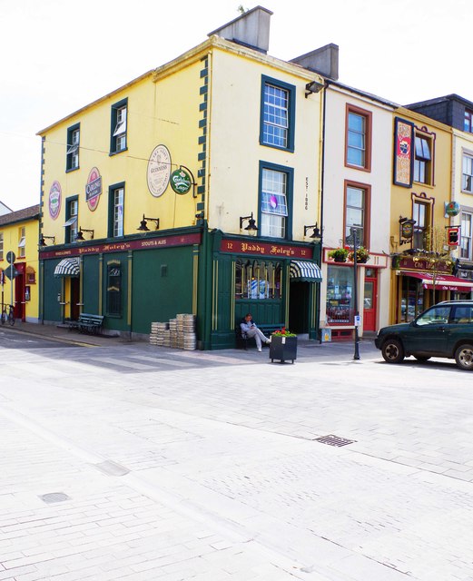 Delanyhouse · 123 yd
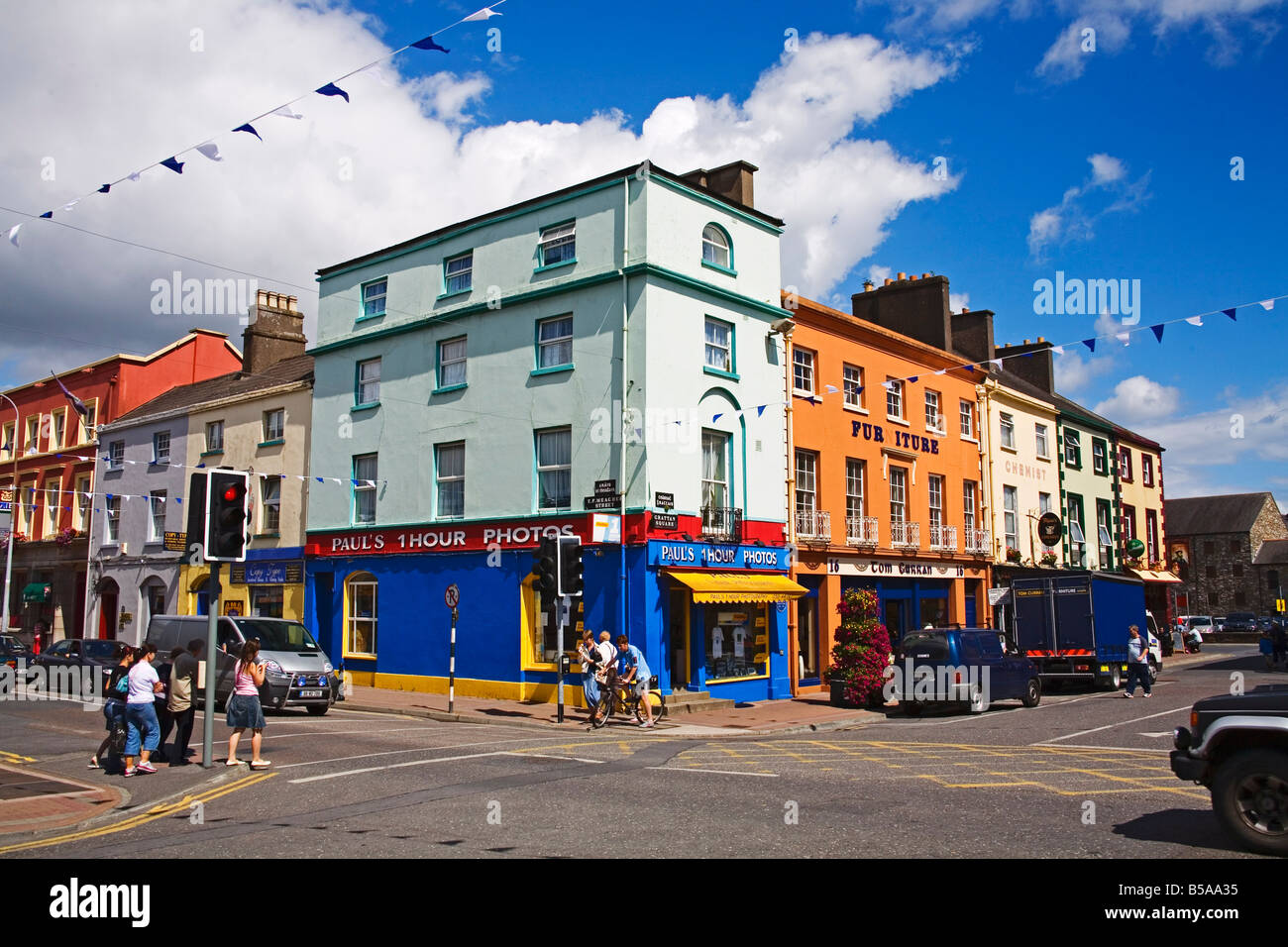
 Grattan SquareVisitor information · 164 yd
 Waterford County MuseumMuseum · 172 yd
 Dungarvan World War I MemorialMemorial · 185 yd
 Dungarvan Castle (in Ruins)Castle, Anglo-Norman masonry castle · 200 yd
 Dungarvan CastleCastle · 200 yd
 Town defences in DungarvanTown defences · 276 yd
 Structure in DungarvanStructure · 296 yd
 Castle (in ruins)Castle, tower house · 632 yd
 Cunnigar PointHeadland · 836 yd
 Horse-chestnutHorse-chestnut · 2.1 mi
Other information
Photo: P L Chadwick · CC BY-SA 2.0