What is recorded here
On the E shore of Castlelough Bay, Lough Leane, with a small stream entering the lake immediately to the S. A disused pier (L c. 20m; Wth 2.5m; long axis NW-SE) built of large irregular sandstone blocks and surviving to a height of two courses. The surface is roughly paved.
From the National Monuments Service (Archaeological Survey of Ireland) record KE066-137
The monument record does not grant public access. Check the route and ask the landowner before entering private land.
- What survives
- Recorded monument
Places near here
Photo credits
- KillarneyDude, Wikimedia Commons · CC BY-SA 4.0
- National Inventory of Architectural Heritage
- NicholasH, Wikimedia Commons · CC BY-SA 4.0
- Sitomon, Wikimedia Commons · CC BY-SA 2.0
- National Library of Ireland on The Commons, Wikimedia Commons · No restrictions
- Peter Gerken, Geograph · CC BY-SA 2.0
- Neville Goodman, Geograph · CC BY-SA 2.0
- Benutzer:Duebbers, Wikimedia Commons · CC BY-SA 3.0
- Ian S, Wikimedia Commons · CC BY-SA 2.0
- Mike Searle, Wikimedia Commons · CC BY-SA 2.0
- Ben Gamble, Geograph · CC BY-SA 2.0
- Marathon, Geograph · CC BY-SA 2.0
 Muckross HouseGate lodge · 319 yd
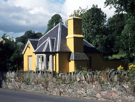 Muckross HouseGate lodge · 599 yd
 Muckross AbbeyHeritage attraction · 605 yd
 European Yew617 yd
.jpg/250px-Its_a_castle..._or_is_it%3F%3F%3F%3F_The_McCarthy_M%C3%B3r_Castle_in_Killarney,_Co._Kerry_(16037295350).jpg "Photo: National Library of Ireland on The Commons, Wikimedia Commons · No restrictions") McCarthy Mor CastleCastle · 864 yd
McCarthy Mor CastleCastle · 864 yd Castlelough BayBay · 926 yd
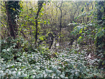 Sheheree Bog Nature ReserveNature reserve · 1499 yd
 Muckross HouseCastle · 1730 yd
 Cow IslandIsland · 1.3 mi
 Flesk CastleCastle · 1.6 mi
 Rough IslandIsland · 1.7 mi
 Monsignor Hugh O'Flaherty MemorialMemorial · 1.9 mi
More archaeology and monuments in County Kerry · All of County Kerry
What do you know about this place?