What is recorded here
Quarry Rising North is a documented cave rising near Clogvalley Lower in County Monaghan, recorded in the Irish Caves Database. It is not an abstract dot on a map; it is a place where water, rock and air meet beneath ordinary farmland. Whether the rising is clean or choked depends on the season and recent rain. Ask the landowner, check the entrance, and respect that the cave belongs to the living townland as much as to memory.
The Irish Caves Database records Quarry Rising North at Clogvalley Lower in County Monaghan. This point comes from its public cave register. A cave map point does not by itself grant access: check local conditions and ask the landowner where needed.
The cave register does not grant public access. Check conditions and ask the landowner before entering private land.
Places near here
 Fin McCools TableMegalithic tomb · 294 yd
 kilnkiln · 1351 yd
 Man-made underground passage in CornasleeveMan-made underground passage · 1459 yd
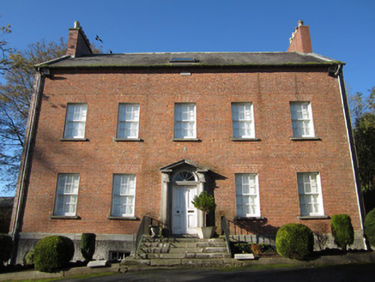 Derryolam Houserectory/glebe/vicarage/curate's house · 1.3 mi
 Horse-chestnutHorse-chestnut · 1.4 mi
 Mannan Castle (in ruins)Castle, Anglo-Norman masonry castle · 1.4 mi
 TobernagalliaghSpring · 1.6 mi
 European BeechEuropean Beech · 2.2 mi
 Gully IslandIslet · 4.8 mi
 Drumerlough MoreMountain / peak · 4.9 mi
 CastleCastle, motte and bailey · 4.9 mi
 KnockreaghMountain / peak · 4.9 mi