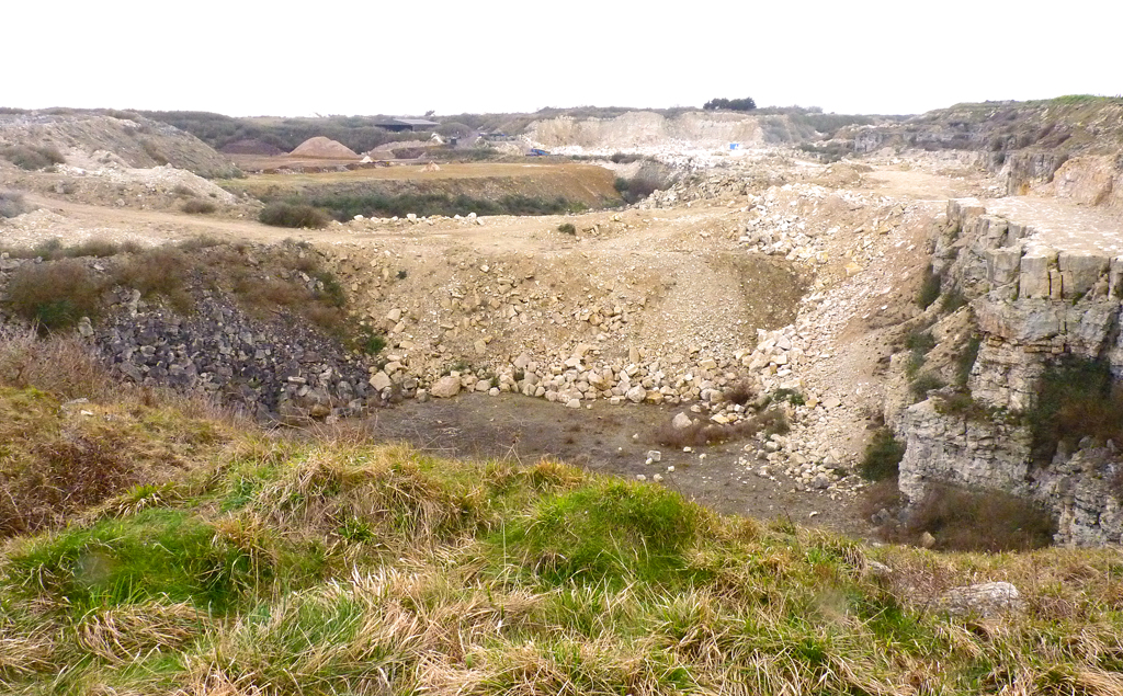
What is recorded here
Annotated ‘Quarry’ on the 1837 edition of the Ordnance Survey six-inch map where it is depicted as a semi-circular shaped area (approx. diam. 40m) 60m to the north of Palmerston church (DU017-026001-) and graveyard (DU017-026002-) and 100m to the west of a lead and copper mill standing on the western bank of the River Liffey. Area of filled in disused quarry visible as scrubland area on the 2013-18 MapGenie orthoimage.
Compiled by: Caimin O'Brien
Date of Compilation: 26 November 2025
The monument record does not grant public access. Check the route and ask the landowner before entering private land.
- What survives
- Recorded monument
Places near here
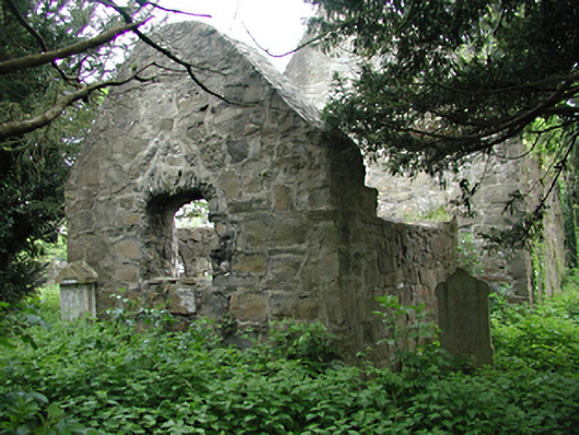 graveyard/cemeterygraveyard/cemetery · 113 yd
 Graveyard in Palmerstown LowerGraveyard · 128 yd
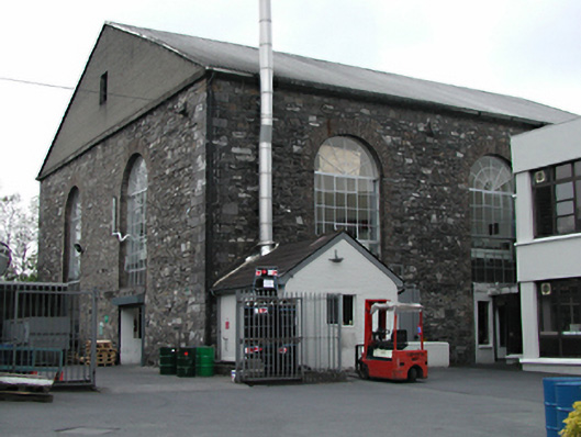 mill (water)mill (water) · 143 yd
 IndicatedBarrow, ring-barrow · 290 yd
 Ice HouseIcehouse · 611 yd
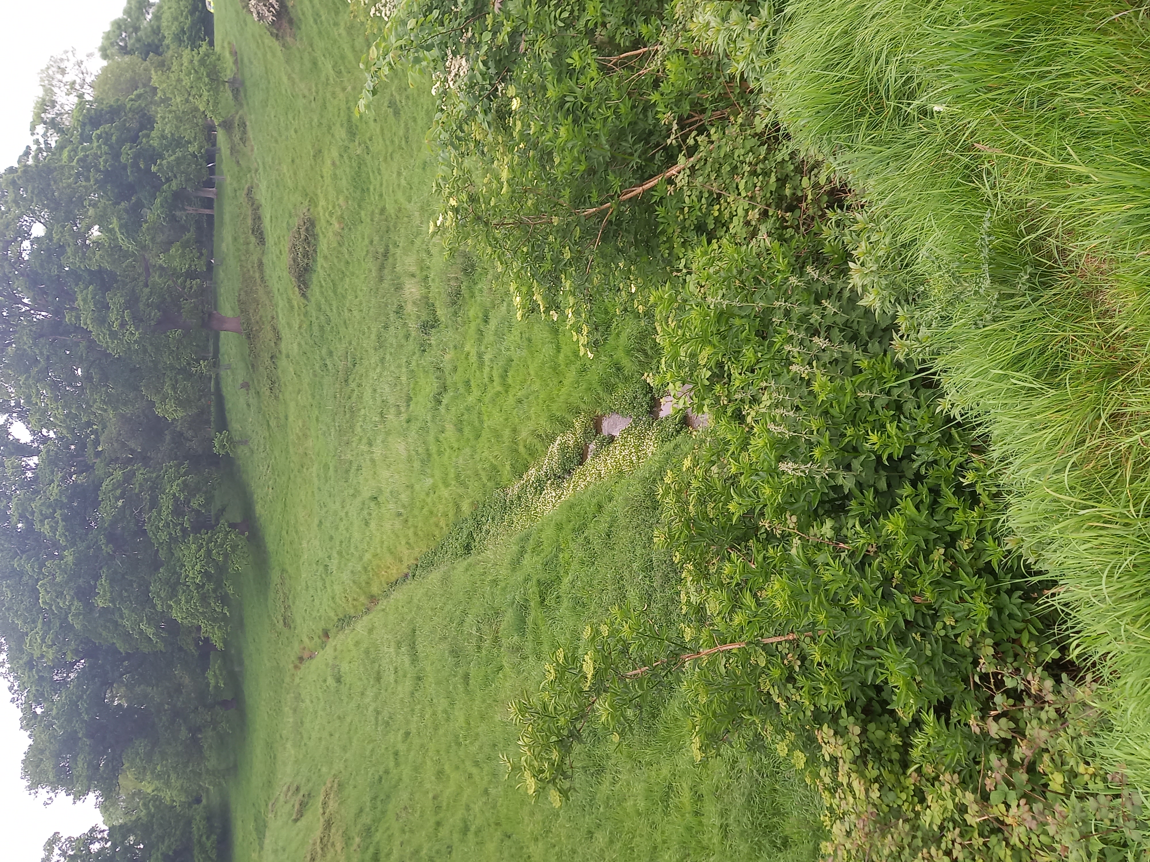 Furry GlenWood · 797 yd
 National Famine WayWalking route · 1093 yd
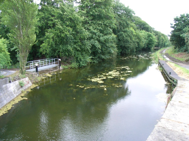 The Royal Canal WayWalking route · 1102 yd
 Castleknock CastleCastle · 1233 yd
 Oldtown WoodWood · 1730 yd
 Graveyard in Unknown TownlandGraveyard · 1751 yd
 Ivagh Cottageworker's house · 167 yd
Other information
Photo: Credit not shown in the picture search · Rights wording not checked; contact us if this picture should be removed