What is recorded here
Annotated ‘Ice House’ on the 1837 edition of the Ordnance Survey six-inch map where it is shown standing in a woodland area on the demesne lands of Palmerston House standing 90m to the north. Building depicted standing in a woodland area adjacent to a network of pathways running through the woodland on the 1863 edition of the Ordnance Survey 25-inch map. The west bank of the River Liffey lies 175m to the east of the icehouse. East Mature woodland visible in the area of the icehouse on the 2013-18 MapGenie orthoimage.
Annotated ‘Ice House’ on the 1837 edition of the Ordnance Survey six-inch map where it is shown standing in a woodland area on the demesne lands of Palmerston House standing 90m to the north. Building depicted standing in a woodland area adjacent to a network of pathways running through the woodland on the 1863 edition of the Ordnance Survey 25-inch map. The west bank of the River Liffey lies 175m to the east of…
From the National Monuments Service (Archaeological Survey of Ireland) record DU017-122
The monument record does not grant public access. Check the route and ask the landowner before entering private land.
- What survives
- Recorded monument
Places near here
Photo credits
- National Inventory of Architectural Heritage
- DubhEire, Wikimedia Commons · CC0
- JP, Geograph · CC BY-SA 2.0
- Laurel Lodged, Wikimedia Commons · CC BY-SA 4.0
- Pier Paolo Lisarelli, Wikimedia Commons · CC BY-SA 4.0
- self, Wikimedia Commons · Public domain
- N Chadwick, Geograph · CC BY-SA 2.0
- Frank Winkelmann, Wikimedia Commons · CC BY 3.0
- Gareth James, Geograph · CC BY-SA 2.0
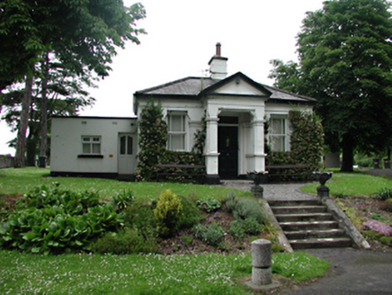 Buck HouseGate lodge · 103 yd
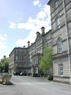 Stewart's HospitalCountry house · 104 yd
 goods shed216 yd
 FarmleighHeritage attraction · 1434 yd
 The Royal Canal WayWalking route · 1693 yd
 Castleknock CastleCastle · 1.0 mi
 Knockmaree DolmenArchaeological place · 1.0 mi
 Oldtown WoodWood · 1.1 mi
 Phoenix ParkPublic park · 1.5 mi
 Phoenix Park Visitor CentreVisitor information · 1.6 mi
 Ashtown CastleCastle · 1.6 mi
 Dome-Shaped TempleMonument · 2.1 mi
More archaeology and monuments in County Dublin · All of County Dublin
What do you know about this place?