
What is recorded here
Small irregular-shaped quarry (approx. dims. 30m E-W x 20m N-S) on S side of field field boundary depicted on the 1837 ed. OSi six-inch map. Area depicted as a tree plantation on the last edition of the OSi six-inch map. Area of old quarry visible as a tree covered area in tillage field on the 2013-18 MapGenie orthoimage.
Compiled by: Caimin O'Brien
The monument record does not grant public access. Check the route and ask the landowner before entering private land.
- What survives
- Recorded monument
Places near here
 Field system in BremoreField system · 193 yd
 Ring-ditch in KnocknaginRing-ditch · 377 yd
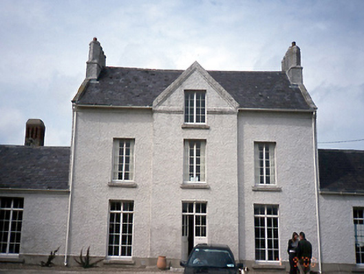 Knocknagin Househouse · 575 yd
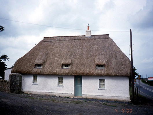 Knocknagin Cottagehouse · 660 yd
 CastleHouse, fortified house · 1.1 mi
 Bremore CastleCastle · 1.1 mi
 European YewEuropean Yew · 1.2 mi
 SycamoreSycamore · 1.3 mi
 Clonard SpringSpring · 1.6 mi
 Balbriggan Tourist OfficeVisitor information · 1.7 mi
 Ben HeadCliff · 1.9 mi
 Balrothery Heritage CentreMuseum · 3.0 mi
Other information
Photo: Credit not shown in the picture search · Rights wording not checked; contact us if this picture should be removed