What is recorded here
On a slight rise in meadowland. A hachured feature marked on the 1926 revision of the OS 6-inch map proved on inspection in 1984 to be an disused gravel pit defined by a hollow. Probably of 19th/20th-century date.
Compiled by: Olive Alcock
Date of upload: 3 October 2014
The monument record does not grant public access. Check the route and ask the landowner before entering private land.
- What survives
- Recorded monument
Places near here
 Mount Talbot Housecountry house · 689 yd
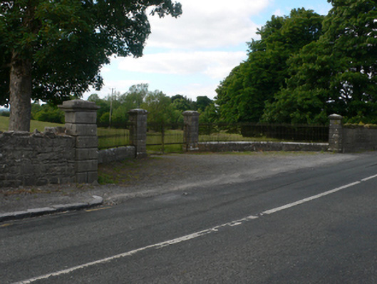 Thornfield Housedemesne walls/gates/railings · 784 yd
 Church (Site of)Church · 1063 yd
 Enclosure in Cloonruff (killian By.)Enclosure · 1085 yd
 Castle KellyCastle, tower house · 1.7 mi
 Aughrane WoodsForest · 1.8 mi
 Site of Ballygar CastleArchaeological place · 1.8 mi
 Sally IslandIslet · 3.2 mi
 European Crab AppleEuropean Crab Apple · 3.3 mi
 Mount MaryMountain / peak · 4.9 mi
 Inch IslandIsland · 5.1 mi
 Site of Killomaine Grave YardArchaeological place · 11 mi