What is recorded here
On break of a W-facing slope in undulating terrain, under pasture. Ground dips down into a shallow hollow. Enclosure appears as an irregular area enclosing trees on the 1st (1840) ed. OS 6-inch map and as a quarry on the 2nd (1901-05) ed. No visible trace of monument above ground. Shelter belt of trees now runs roughly NS up to former E sector of possible enclosure. Field boundary to N running roughly NW-SE. An aerial photograph (GB89.AA.27 16 July 1989) shows a cropmark at this location consistent with a filled in quarry.
From the National Monuments Service (Archaeological Survey of Ireland) record TS076-006
Places near here
Picture notes
- Computer-made picture. It does not show this monument.
- National Inventory of Architectural Heritage
- Computer-made picture. It does not show this playground.
- Mike Searle, Wikimedia Commons · CC BY-SA 2.0
- Martin Richard Phelan, Geograph · CC BY-SA 2.0
- Andreas F. Borchert, Wikimedia Commons · CC BY-SA 4.0
- Computer-made picture. It does not show this walking route.
- Chmouel Boudjnah Original uploader was Chmouel at fr.wikipedia, Wikimedia Commons · CC BY-SA 3.0
- Algirdas at Lithuanian Wikipedia, Wikimedia Commons · Public domain
- Sitomon, Wikimedia Commons · CC BY-SA 2.0
 Enclosure in OuteraghEnclosure · 185 ydComputer-made picture
 Fairy fort / earthen ringfort in OuteraghFairy fort / earthen ringfort · 287 ydComputer-made picture
 Outrath LodgeRectory/glebe/vicarage/curate's house · 1114 yd
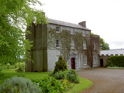 The GlebeRectory/glebe/vicarage/curate's house · 1.0 mi
 Children's playground1.3 miComputer-made picture
 Knockgraffon CastleCastle · 1.9 mi
 Knockgraffon MoatCastle, motte and bailey · 2.2 mi
 Caher AbbeyHeritage attraction · 3.5 mi
 Tipperary Heritage WayWalking route · 3.6 miComputer-made picture
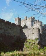 Siege of Cahir CastleSiege · 3.7 mi
 Pedunculate Oak4.6 mi
 European Yew4.8 mi
More historic places in County Tipperary · All of County Tipperary

What do you know about this place?Tap to add a comment or ask a question