What is recorded here
In undulating pastureland. A subrectangular feature indicated by a broken line on the 1947-8 revision of the OS 6-inch map proved on inspection in 1984 to be an overgrown disused quarry. As it is of post-AD 1700 date it does not come within the remit of the Archaeological Survey of Ireland.
Compiled by: Olive Alcock
Date of upload: 14 August 2014
The monument record does not grant public access. Check the route and ask the landowner before entering private land.
- What survives
- Recorded monument
Places near here
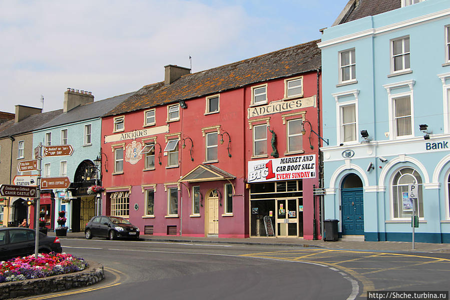 Quarry in Caher (portumna Ed)Quarry · 514 yd
 Quarry in Claggernagh EastQuarry · 1520 yd
 Glebe Ho.Ecclesiastical residence · 1698 yd
 Font in LickmolassyFont · 1.3 mi
 Church HillMountain / peak · 1.3 mi
 European YewEuropean Yew · 1.5 mi
 Portumna Castlegate lodge · 1.5 mi
 Portumna Forest ParkForest · 1.5 mi
 Gate HouseCastle · 1.6 mi
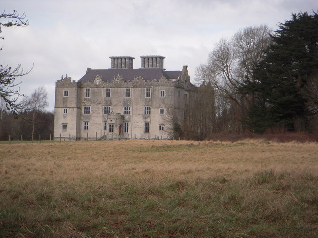 Castle (in ruins)House, fortified house · 1.6 mi
 SpindillaunIslet · 1.9 mi
 Burke's IslandIslet · 2.0 mi