What is recorded here
In undulating countryside. This is a quarry. Indicated as a semi-circular shaped ditch running from South through East to North in an area of woodland. This feature is not indicated on the 1838 edition of the OS six-inch map. No monument is indicated in this woodland area on the 1838 edition of the OS six-inch map.
Compiled by: Caimin O'Brien
Date of upload/revision: 26 April 2010
The monument record does not grant public access. Check the route and ask the landowner before entering private land.
- What survives
- Recorded monument
Places near here
 IndicatedEnclosure · 926 yd
 Enclosure in OldglassEnclosure · 1096 yd
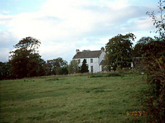 Killermogh Rectoryrectory/glebe/vicarage/curate's house · 1420 yd
 Killermogh Churchchurch/chapel · 1527 yd
 European PearEuropean Pear · 1.0 mi
 Big WoodWood · 1.1 mi
 CastleCastle, tower house · 1.3 mi
 Middlemount MoatCastle, motte and bailey · 2.7 mi
 Anker's IslandIsland · 6.1 mi
 Cnoc SeanrathaMemorial · 6.5 mi
 Enclosure in Ballycolla HeathEnclosure · 1.2 mi
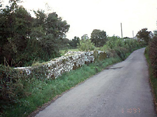 bridgebridge · 1.4 mi