What is recorded here
Unlocated quarry within the townland of Meelaghans. Identified as a 'circular earthwork' in 1974 by Offaly Historical and Archaeological Society and described then as an, 'Earthwork is known as a rath and its appearance confirms this appelation. It is situated in a field owned by Mr Patk. Dunne. The rath is now heavily overgrown and has no uniques features. It is about 13 yds. Diameter' (OHAS file 1974). This would appear to be a natural hollow ridge with hollow depression possibly as a result of quarrying.
The above description is derived from the published 'Archaeological Inventory of County Offaly' (Dublin: Stationery Office, 1997). In certain instances the entries have been revised and updated in the light of recent research.
Date of upload/revision: 29 December 2011
The monument record does not grant public access. Check the route and ask the landowner before entering private land.
- What survives
- Recorded monument
Places near here
 Site of CrossCross · 770 yd
 Quarry in MeelaghansQuarry · 880 yd
 BarrowBarrow, ring-barrow · 1243 yd
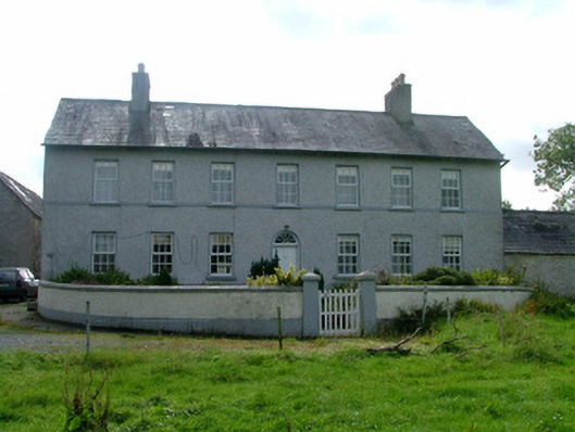 Cappancur Housefarm house · 1.0 mi
 Castle in ruinsCastle, unclassified · 1.8 mi
 Grand Canal WayWalking route · 2.5 mi
 Children's WellSpring · 2.6 mi
 Lady's WellSpring · 2.6 mi
 Burnett's WoodForest · 2.8 mi
 Mick the MillerMemorial · 3.1 mi
 Scrub HillMountain / peak · 3.1 mi
 Bawn in BallydrohidBawn · 3.5 mi