What is recorded here
On a moderate N-facing slope on the western summit of the Silvermine Mountains, in rough upland grazing. Silvermines village lies at the base of the hill, c. 1.7km to the NNW, with the Silvermines mining complex at the base of the hill, to the S of the village. There are panoramic view from NW to E with Lough Derg…
Read the whole record
From the National Monuments Service (Archaeological Survey of Ireland) record TN026-093
Places near here
Photo credits
- Colin Park, Geograph · CC BY-SA 2.0
- National Inventory of Architectural Heritage
- Maker not stated on source page, www.alamy.com
- Miguel Angel Masegosa Martínez, Wikimedia Commons · CC BY 2.0
- Maker not stated on source page, frametoframe.ca
- Maker not stated on source page, commons.wikimedia.org
- Maker not stated on source page, eurogeologists.eu
- Sarah777, Wikimedia Commons · Public domain
 Silvermines ViewpointViewpoint · 461 yd
Explorer Tom Silvermines Viewpoint in County Tipperary has a tall tale about a hidden tunnel to the pub that locals swear exists but…
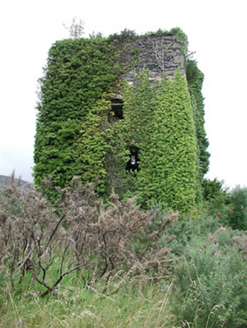 Silvermines Calamine and Lead MinesEngine house · 1549 yd
Explorer Tom The Silvermines Calamine and Lead Mines engine house thinks Dublin tourists are all fashion victims who don’t know the…
 Silvermines CottageWorker's house · 1617 yd
Explorer Tom Silvermines Cottage in Ballygown South witnessed a love story that went terribly wrong right next to its slate roof. It…
 Catholic Church of Our Lady of LourdesChurch/chapel · 1.0 mi
Explorer Tom Catholic Church of Our Lady of Lourdes in Cloonanagh took about four million cups of tea to build. The concrete ribs…
 J. RyanHouse · 1.1 mi
Explorer Tom J. Ryan in Ballygown South has a secret it will only tell you after three pints, which is that it actually runs on pure…
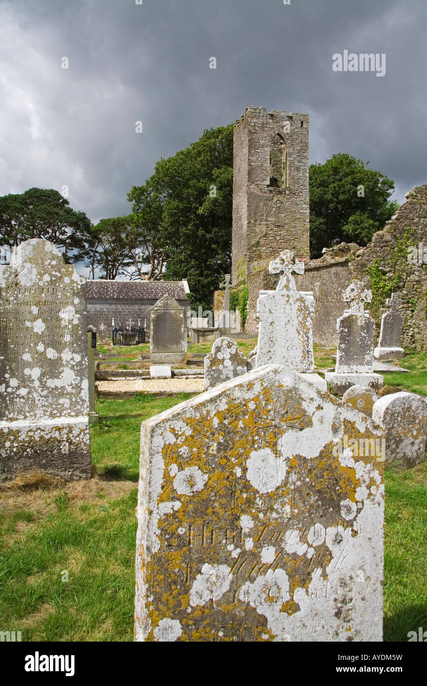 Graveyard in GortshaneroeGraveyard · 1.2 mi
Explorer Tom Graveyard in Gortshaneroe has strict rules: no shoes, no talking, and absolutely no asking where it actually is because…
 Sweet Chestnut1.4 mi
Explorer Tom Sweet Chestnut in Tipperary witnessed a love story go wrong when two couples argued over who got to sit under its shade…
 Dunalley Castle (in ruins)Bawn · 1.4 mi
Explorer Tom This Dunalley Castle bawn is full of secrets it would spill after three pints of stout. It’s been sitting on that slope…
 Earthwork in CurragharneenEarthwork · 1.5 mi
Explorer Tom Earthwork in Curragharneen is just a circle that exists on Google Earth, which feels a bit like cheating for an ancient…
 Earthwork in Kilboy (kilmore Par., North Riding)Earthwork · 1.9 mi
Explorer Tom Earthwork in Kilboy would tell its younger self to stop trying to be a perfect circle because that’s what gets you…
 Dolla, SilverminesGAA ground · 2.3 mi
 Keeper HillMountain / peak · 2.3 mi
Explorer Tom Keeper Hill sounds like a mountain that would mind my coat while I wandered off, but it asks you to mind your own…
More historic places in County Tipperary · All of County Tipperary

What do you know about this place?Tap to add a comment or ask a question