What is recorded here
Marked as a circular feature (diam. c. 30m) only on the 1927 ed. of the OS 6-inch map, and situated in a low-lying landscape. This is a partially back-filled quarry or pond.
Compiled by: Michael Moore
Date of upload: 24 August 2010
The monument record does not grant public access. Check the route and ask the landowner before entering private land.
- What survives
- Recorded monument
Places near here
 Church in KilbegnetChurch · 1440 yd
 IndicatedFairy fort / earthen ringfort · 1475 yd
 Quarry in CarrownagloghQuarry · 1510 yd
 LiscarraghArchaeological place · 1656 yd
 European ashEuropean ash · 2.2 mi
 European YewEuropean Yew · 2.2 mi
 CastleCastle, unclassified · 2.4 mi
 Sally IslandIslet · 3.4 mi
 Mount MaryMountain / peak · 3.9 mi
_-_geograph.org.uk_-_1952978.jpg?width=1280) Bawn in Glinsk (ballymoe By.)Bawn · 4.2 mi
Bawn in Glinsk (ballymoe By.)Bawn · 4.2 mi Site of Killomaine Grave YardArchaeological place · 4.8 mi
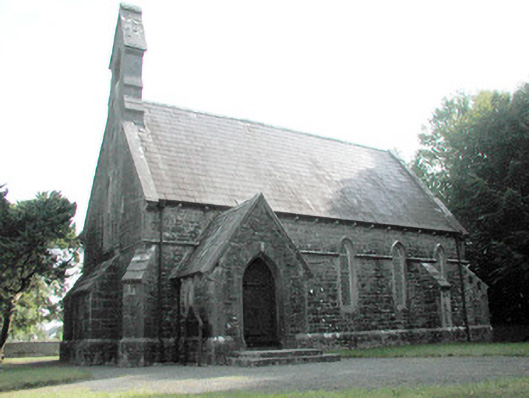 Dunamon Churchchurch/chapel · 1707 yd