What is recorded here
Listed in both the SMR (1989) and RMP (1995) and classified as 'Enclosure' and 'Ringfort (Rath/Cashel)' respectively. Indicated on the 1914 edition of the OS 6-inch map as a roughly circular depression (diam. c. 30m). In undulating pasture. When inspected in 2000 it was recorded that this is now evident as a square…
Read the whole record
From the National Monuments Service (Archaeological Survey of Ireland) record SL047-033
Places near here
Photo credits
- Maker not stated on source page, www.alamy.com
- Maker not stated on source page, en.wikipedia.org
- Maker not stated on source page, www.wikidata.org
- Maker not stated on source page, www.pinterest.com
- Maker not stated on source page, www.thejournal.ie
- Golfing in Ireland; photographer not stated, Source publisher
- Real Group Photos / realboyle (Flickr account); individual photographer not stated, www.flickr.com
- National Inventory of Architectural Heritage
 Fairy fort / earthen ringfort in ArdgallinFairy fort / earthen ringfort · 479 yd
Explorer Tom Ardgallin’s rath is half-gone because the weather has a long-standing grudge against it being so round. Only the west…
 Earthwork in LisserdreaEarthwork · 1133 yd
Explorer Tom Earthwork in Lisserdrea is D-shaped because someone decided a full circle was too much effort, so they just stopped…
 Fairy fort / earthen ringfort in Ballymore WestFairy fort / earthen ringfort · 1403 yd
Explorer Tom Fairy fort / earthen ringfort in Ballymore West is claiming it was invented by a local who just made it up on a dare.…
Fairy fort / earthen ringfort in ArdmoyleFairy fort / earthen ringfort · 1504 ydExplorer Tom Fairy fort / earthen ringfort in Ardmoyle would file a noise complaint with the council if it knew how loud the wind…
 Mapped graveyardGraveyard · 1516 yd
Explorer Tom Mapped graveyard in County Sligo took exactly three cups of tea to build, which sounds impossible until you realize Tom…
 Fairy fort / earthen ringfort in Ardmore (boyle By., Tivannagh Ed)Fairy fort / earthen ringfort · 1676 yd
Explorer Tom This ringfort in Ardmore would order a triple chip but only eat the curry sauce. It sits on a drumlin like it owns the…
 Fairy fort / earthen ringfort in DerrymaquirkFairy fort / earthen ringfort · 1.4 mi
Explorer Tom Fairy fort in Derrymaquirk refuses to fall down because it is too proud to admit it is actually just a field bank with…
Mapped cemeteryCemetery · 1.6 miExplorer Tom Mapped cemetery in County Sligo would definitely win the county fair for best dressed, if only because it has more…
Fairy fort / earthen ringfort in ArdsoreenFairy fort / earthen ringfort · 1.7 miExplorer Tom Ardsoreen’s waterlogged fort caused a massive parish argument last century over whether the entrance was on the left or…
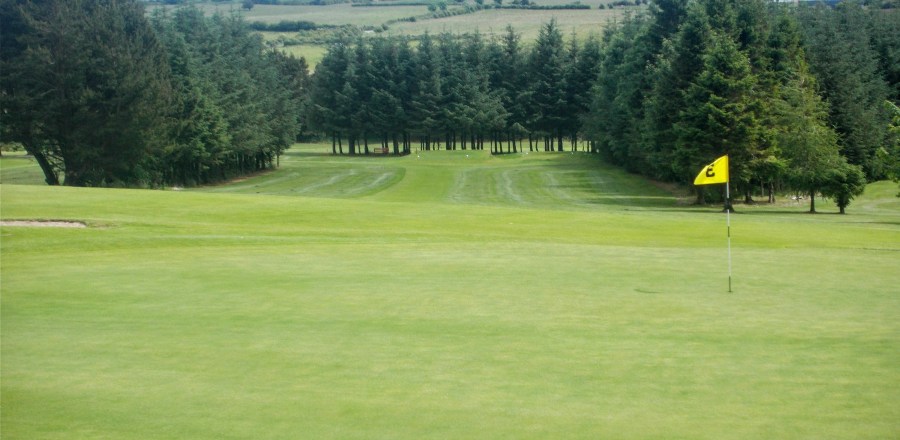 Boyle Golf ClubGolf course · 2.5 mi
 Abbey Park, Boyle GAAGAA ground · 3.1 mi
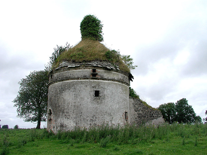 Frenchpark HouseBuilding misc · 5.3 mi
Explorer Tom Frenchpark House is a circular smokehouse with stone slates, looking like a fancy mushroom that got lost on the way to…
More historic places in County Sligo · All of County Sligo

What do you know about this place?Tap to add a comment or ask a question