What is recorded here
From the National Monuments Service (Archaeological Survey of Ireland) record CL018-054
Places near here
Photo credits
- Maker not stated on source page, www.dreamstime.com
- Maker not stated on source page, hu.pinterest.com
- Maker not stated on source page, irisharchaeology.org
- Maker not stated on source page, www.pinterest.com
- Maker not stated on source page, es.wikipedia.org
- National Inventory of Architectural Heritage
- Nigel Thompson, Geograph · Creative Commons Attribution-ShareAlike 2.0
- Maker not stated on source page, www.alamy.com
- Kmcnamee, Wikimedia Commons · CC BY-SA 4.0
- The Clare Echo; photographer not named in the article, www.clareecho.ie
- Maker not stated on source page, www.msn.com
 Anomalous stone group in CarheenybaunAnomalous stone group · 1640 yd
Explorer Tom Anomalous stone group in Carheenybaun is having a field day pretending to be something else. If zombies showed up…
 Inghid Bridge SinksCave sink · 1.0 mi
Explorer Tom Inghid Bridge Sinks at Sranagalloon used to be run by a matchmaker who only paired off people who liked wet socks. The…
 Megalithic tomb in Knockmael EastMegalithic tomb · 1.2 mi
Explorer Tom Megalithic tomb in Knockmael East is playing hide-and-seek with me. A tale from 1846 says an earl built it, but there…
 Bullaun stone in Doon (bunratty Upper By.)Bullaun stone · 1.5 mi
Explorer Tom Bullaun stone in Doon would post 'Living my best rock life #blessed' on social media if it had thumbs. It’s very into…
 Coffin-resting stone in Doon (bunratty Upper By.)Coffin-resting stone · 1.6 mi
Explorer Tom Coffin-resting stone in Doon would tell the modern headstone that replaced it: 'Thanks for the upgrade, but I prefer my…
 Teampall na Deirce GraveyardGraveyard · 1.6 mi
Explorer Tom Teampall na Deirce Graveyard in County Clare witnessed a guy drop his sandwich in 1998, which was arguably the most…
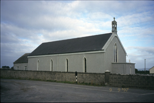 Saint Michael's Catholic ChurchChurch/chapel · 1.6 mi
Explorer Tom Saint Michael's Catholic Church in Creggaunycahill is an 1850 church with a carved limestone bellcote that looks like…
 Tubber Railway StationRailway station · 1.8 mi
Explorer Tom Tubber Railway Station in Rathwilladoon is proud of its timber sign even though no trains have come for ages. It’s been…
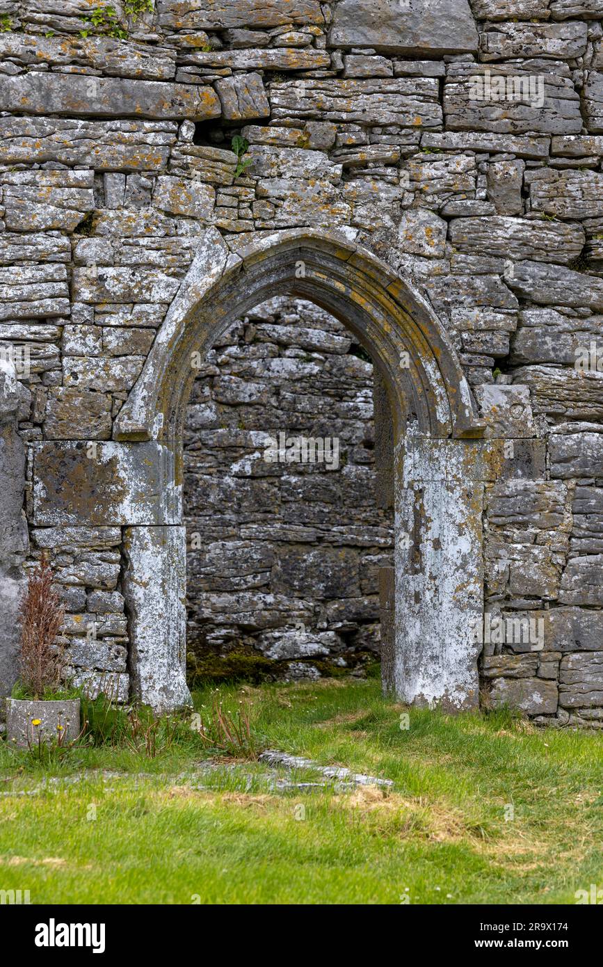 Mapped graveyardGraveyard · 2.3 mi
Explorer Tom Tom says this Mapped graveyard smells like wet wool, old pennies, and regret, but that’s probably just him being…
 Crusheen GAA pitchGAA ground · 2.6 mi
 Tubber GAA pitchGAA ground · 3.5 mi
 Drummeen Castle (in Ruins)Castle, hall-house · 5.4 mi
Explorer Tom Drummeen Castle in Ballycarroll is a hall-house that probably groans in the wind like a tired grandpa. It’s got a…
More historic places in County Clare · All of County Clare

What do you know about this place?Tap to add a comment or ask a question