What is recorded here
A circular embanked feature, visible in an aerial photograph (ASIAP, CL 207,11), proved, on inspection in 2002, to be a small quarried area. It is hachured and named ‘Quarry (disused)’ on the OS 25-inch map.
Compiled by: Mary Tunney
Date of upload: 17 November 2014
The monument record does not grant public access. Check the route and ask the landowner before entering private land.
- What survives
- Recorded monument
Places near here
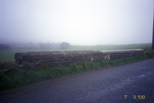 Doonsallagh Bridgebridge · 996 yd
 LisnagatFairy fort / earthen ringfort · 1264 yd
 CaherardFairy fort / stone ringfort · 1346 yd
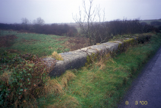 Honan's Bridgebridge · 1.1 mi
 Kilcorcoran Grave YardArchaeological place · 1.4 mi
 Knockanalban Castle (Site of)Castle, unclassified · 2.0 mi
 The Music Makers of West ClareMuseum · 2.2 mi
 Doonogan Castle (Site of)Castle, tower house · 2.4 mi
 Spanish Point BeachBeach / strand · 3.3 mi
 SlievecallanMountain / peak · 3.5 mi
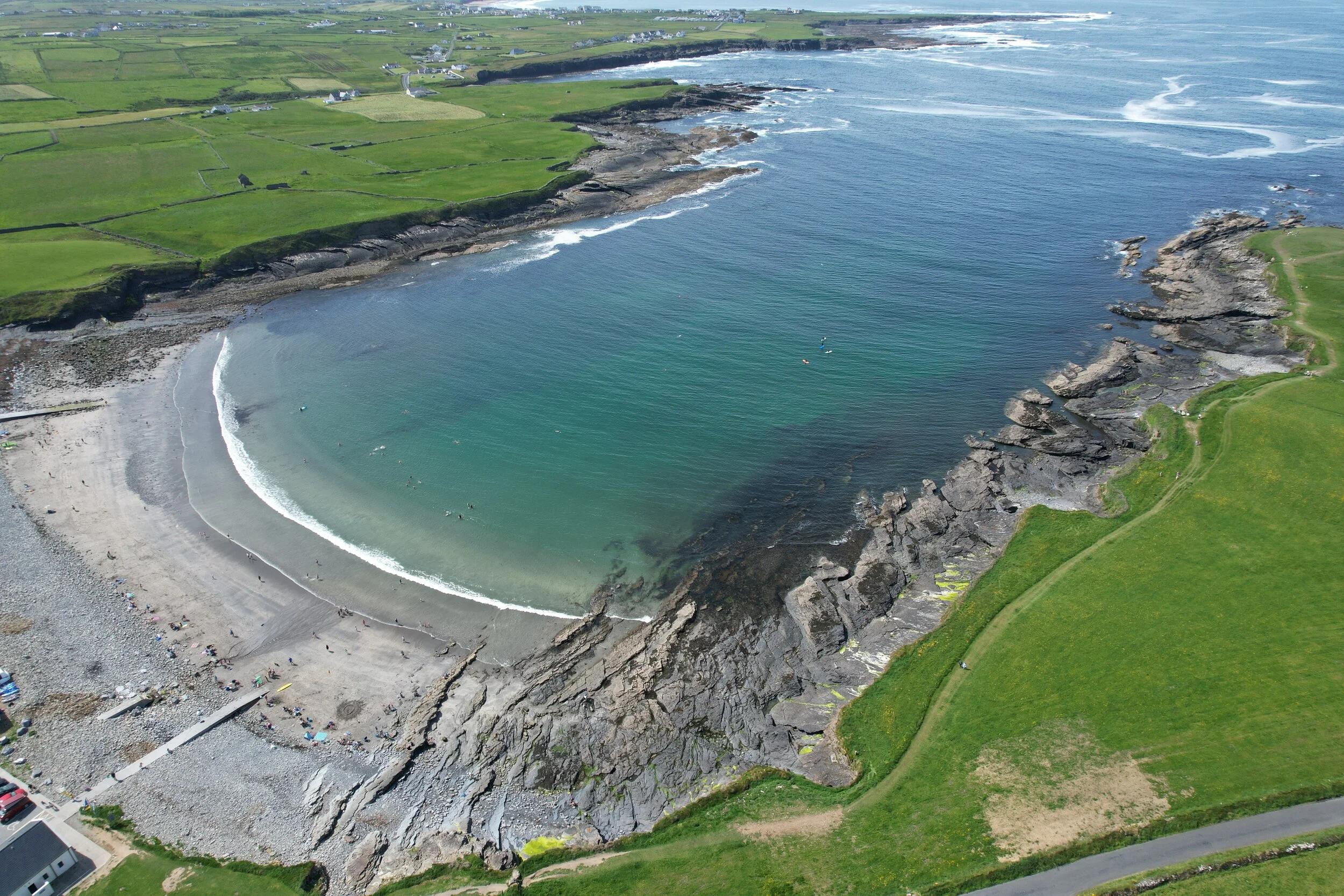 White StrandBeach / strand · 3.6 mi
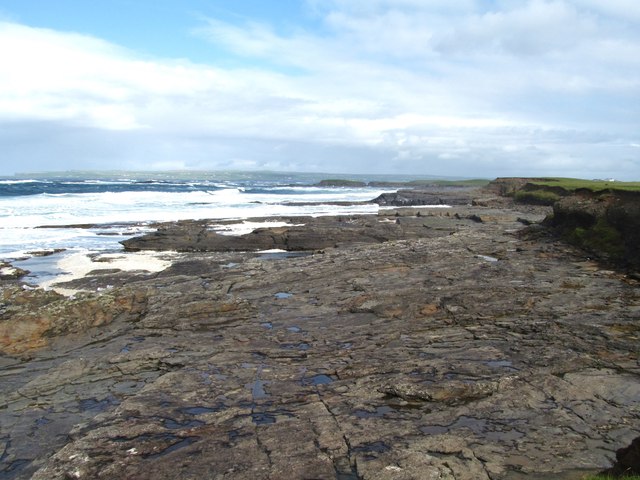 Cream PointHeadland · 4.0 mi