What is recorded here
Listed as a 'potential site - cartographic' in the SMR (1988) and the RMP (1998). This is depicted as a quarry on the 1st edition OS 6-inch map (1842). The current evidence is not sufficient to warrant accepting this as the location of an archaeological monument.
Compiled by: Matt Kelleher
Date of upload: 29 January 2015
The monument record does not grant public access. Check the route and ask the landowner before entering private land.
- What survives
- Recorded monument
Places near here
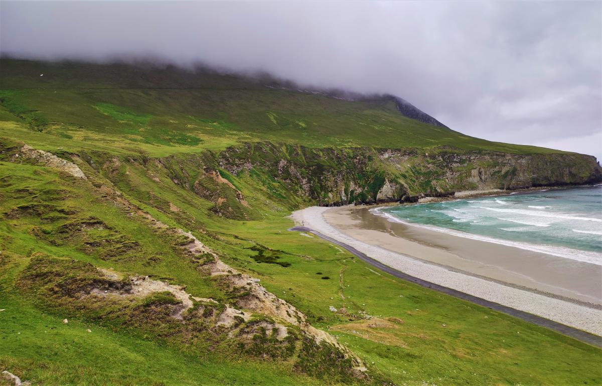 Fulacht fia in KilnagloryFulacht fia · 1122 yd
 Grange HillMountain / peak · 1213 yd
 Quarry in KilnagloryQuarry · 1506 yd
 Ecclesiastical site in Grange (east Muskerry By.)Ecclesiastical site · 1571 yd
 Ballyburden Castle (Site of)Castle, unclassified · 1643 yd
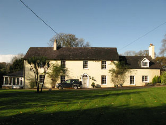 Bride Park Househouse · 1.5 mi
 Ballincollig CastleCastle · 1.7 mi
 Graveyard in Carrigane (muskerry East By.)Graveyard · 1.7 mi
 Cave in Ballincollig (muskerry East By., Carrigrohane Par.)Cave · 1.7 mi
 Corbally Montessori & Early Years' Pre-schoolVisitor information · 2.1 mi
 Charlie Hurley MemorialMemorial · 2.2 mi
 waterfallVisitor information · 2.9 mi