What is recorded here
Listed in the SMR (1989) as a possible enclosure based on its depiction by a semicircle of hachures on the 1941-2 OS 6-inch map. The hachures, however, represent a modern quarry.
From the National Monuments Service (Archaeological Survey of Ireland) record SL038-018
The monument record does not grant public access. Check the route and ask the landowner before entering private land.
- What survives
- Recorded monument
Places near here
Photo credits
- JohnArmagh, Wikimedia Commons · CC BY-SA 3.0
- National Inventory of Architectural Heritage
- Willow, Wikimedia Commons · CC BY 2.5
- Digi-Telly, Wikimedia Commons · CC BY-SA 4.0
- Willie Duffin, Wikimedia Commons · CC BY-SA 2.0
- User:The.Q, Wikimedia Commons · CC BY-SA 2.5
- Jon Sullivan, Wikimedia Commons · CC0
- Oliver Dixon, Geograph · CC BY-SA 2.0
- Gillaween, Wikimedia Commons · CC BY-SA 4.0
- Mike Searle, Wikimedia Commons · CC BY-SA 2.0
- Wanfried-Dublin, Wikimedia Commons · CC BY-SA 4.0
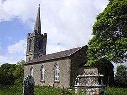 Saint Crumnathy's Cathedral (Achonry)Church/chapel · 1.1 mi
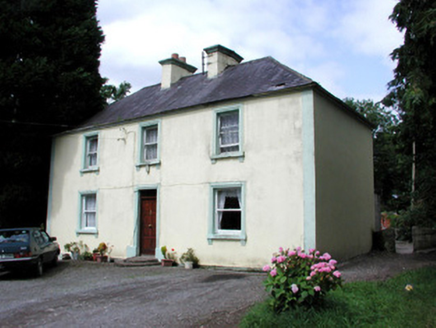 Killandy HouseHouse · 1.1 mi
 Elder3.7 mi
 European ash3.9 mi
 KnocknasheeMountain / peak · 4.1 mi
 Ballymote CastleCastle · 4.9 mi
 Fighting 69th MonumentMonument · 4.9 mi
 Caves of KeshCave · 7.5 mi
 Kesh CorannMountain / peak · 7.9 mi
 Sheela-na-gig in BehySheela-na-gig · 9.1 mi
_-_geograph.org.uk_-_4073636.jpg/250px-Castles_of_Connacht,_Moygara,_Sligo_(2)_-_geograph.org.uk_-_4073636.jpg "Photo: Mike Searle, Wikimedia Commons · CC BY-SA 2.0") Moygara Castle (in Ruins)Bawn · 9.2 mi
Moygara Castle (in Ruins)Bawn · 9.2 mi Giants GraveArchaeological place · 12 mi
More historic places in County Sligo · All of County Sligo
What do you know about this place?