What is recorded here
Situated just off the crest of a N-facing slope with a slight spur extending N just to the E. The interior (int. diam. 32.8) of rath (WX032-024001-) was reused as a Quaker burial ground from 1666 by the Forest Meeting until they acquired a burial ground (WX036-061----) in 1783 (Butler 2004, 64), and by the Cooladine Meeting until they acquired a burial ground in 1799 (ibid. 41). Burial continued thereafter and a lease for the ground was signed in 1816. The last burial was in 1953, and 19 burials are recorded after 1855 (ibid. 42). A drainage channel (Wth 1m; D 0.5-1m) inside the bank of the rath and a central N-S channel (Wth of top 3m; Wth of base 1.6m; D 0.5m) were probably added during this time when the rath assumed its present appearance with trees on the bank and an ornamental iron gate across the entrance at SW. The NW quadrant was used for burial and 12 headstones dating from 1863-1940 are present.
Compiled by: Michael Moore
Date of upload: 15 November, 2012
A ringfort reused as a Quaker burial ground from 1666; significant as an example of early modern religious land use in a prehistoric setting.
The monument record does not grant public access. Check the route and ask the landowner before entering private land.
- What survives
- Recorded monument
Places near here
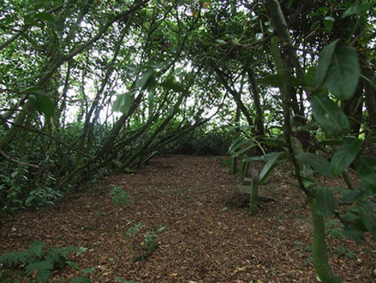 graveyard/cemeterygraveyard/cemetery · 1 yd
 Killurin HouseRIC barracks · 1406 yd
 Embanked enclosurePromontory fort, inland · 1697 yd
 site of Killell ChurchChurch · 1.1 mi
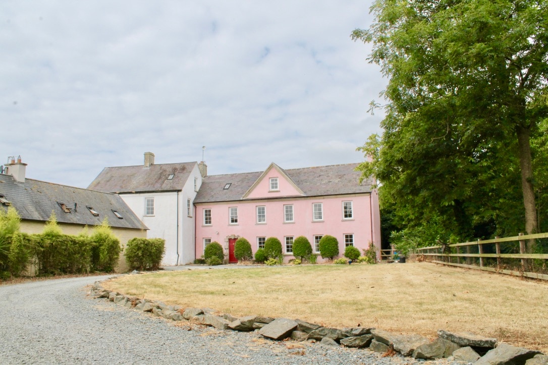 CastleCastle, tower house · 1.2 mi
 Site of CastleCastle, unclassified · 1.3 mi
 Celebrating 125 YearsMemorial · 1.5 mi
 Raheennahoon HillMountain / peak · 3.5 mi
 Fulacht FiadhHeritage attraction · 4.3 mi
 Battle Of The Three RocksMemorial · 4.5 mi
 Battle of Three Rocksbattle · 4.6 mi
 Camaross HillMountain / peak · 4.9 mi