What is recorded here
Carrigmannon is thought to have been held from the manor of Keyer (WX025-026001-) by a Furlong family but it was sold by James Furlong to his cousin Phillip, the son of Sir James Devereux of Ballymagir (WX046-052002-) in 1638 (Jeffrey 1979, 105-6). Phillip gave it to his son Robert, possibly of Ballyshannon Castle (WX035-016----). According to the Civil Survey (1654-6) Robert Devereux owned a large ruined stone building and 120 acres at Carrigmannon in 1640, together with180 acres in Ballybane (Bolabaun?), both in the small parish of Chapel Caran (Simington 1953, 103). The castle is marked faintly in outline as a rectangular structure (dims. c. 10m E-W; c. 8m N-S) on the 1839 ed. of the OS 6-inch map. It is located towards the bottom of an E-facing slope overlooking the NW-SE River Slaney which is c. 90m to the E. It is on relatively high ground with the Ballyvoleen River curving around it c. 15-20m distant W-N. It is not visible at ground level in woodland. (Jeffrey 1970, 48-9)
See the attached section from the Down Survey (1656-8) parish map (N at top) reproduced courtesy of the National Library of Ireland (Ms 725)
The above description is derived from the published 'Archaeological Inventory of County Wexford' (Dublin: Stationery Office, 1996).
Carrigmannon is thought to have been held from the manor of Keyer (WX025-026001-) by a Furlong family but it was sold by James Furlong to his cousin Phillip, the son of Sir James Devereux of Ballymagir (WX046-052002-) in 1638 (Jeffrey 1979, 105-6). Phillip gave it to his son Robert, possibly of Ballyshannon Castle (WX035-016----). According to the Civil Survey (1654-6) Robert Devereux owned a large ruined stone…
From the National Monuments Service (Archaeological Survey of Ireland) record WX037-004001
The monument record does not grant public access. Check the route and ask the landowner before entering private land.
- What survives
- Recorded monument
Places near here
 Carrigmannon BridgeBridge · 195 yd
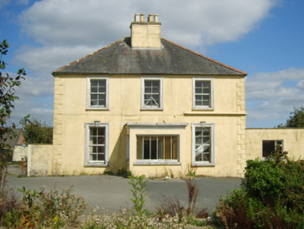 rectory/glebe/vicarage/curate's house359 ydSt. Laurences WellHoly well · 625 ydCelebrating 125 YearsMemorial · 650 ydCastleCastle, tower house · 1402 yd
 Clonmore Grave YardGraveyard · 4.0 mi
 Dawn Redwood4.2 mi
 Forth MountainMountain / peak · 4.3 mi
 Commodore John Barry MemorialMemorial · 5.3 mi
 Taghmon CastleCastle · 5.3 mi
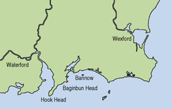 Siege of WexfordSiege · 5.5 mi
 Sack of WexfordSiege · 5.5 mi
Pictures: National Inventory of Architectural Heritage; David Purchase, Geograph · Creative Commons Attribution-ShareAlike 2.0; Maker named on the Wikimedia Commons picture page · CC BY-SA 3.0; Richard Webb, Geograph · CC BY-SA 2.0; Thommcg1980, Wikimedia Commons · CC BY-SA 4.0; Jonathan Thacker, Geograph · CC BY-SA 2.0; AFBorchert, Wikimedia Commons · CC BY-SA 4.0; Danielclauzier, Wikimedia Commons · CC BY-SA 3.0
More castles and forts in County Wexford · All of County Wexford
What do you know about this place?