What is recorded here
From OpenStreetMap (© OpenStreetMap contributors) n332372565
Places near here
Photo credits
- Colin Park, Geograph · CC BY-SA 2.0
- Stephen Hocker, Geograph · CC BY-SA 2.0
- Maker not stated on source page, www.alamy.com
- N Chadwick, Geograph · CC BY-SA 2.0
- Patrice78500, Wikimedia Commons · Public domain
- Phil Armitage, Wikimedia Commons · Public domain
- Maker named on the Wikimedia Commons picture page · Public domain
- Maker named on the Wikimedia Commons picture page · CC BY-SA 2.5
- Maker not stated on source page, www.pinterest.com
- National Inventory of Architectural Heritage
- PST Sport, installation contractor; individual aerial photographer not named, pstsport.com
 Shehy MountainMountain / peak · 816 yd
Explorer Tom Shehy Mountain is the quieter eastern sibling of Purple Mountain above Killarney, and it is rather good at avoiding the…
 Tomies MountainMountain / peak · 990 yd
Explorer Tom Tomies Mountain rises above Killarney with a splendid view of Lough Leane and a talent for confusing map readers. Some…
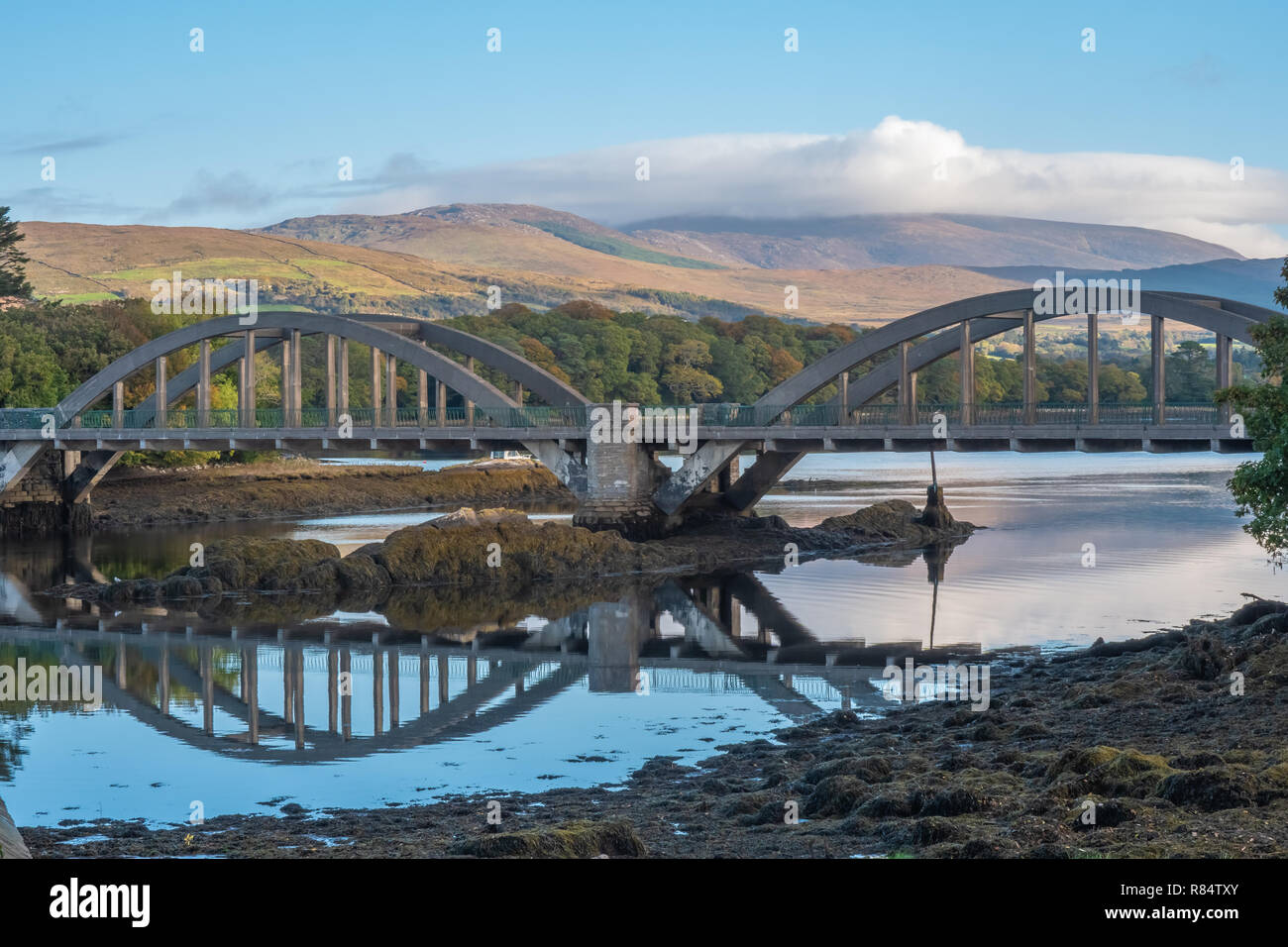 Very small BridgeVisitor attraction · 1.4 mi
Explorer Tom Very small Bridge has very strong opinions about modern buildings, particularly that they are all too big and not…
 Head of DunloeViewpoint · 2.0 mi
Explorer Tom Head of Dunloe in County Kerry handles its nosy neighbors by just turning its back on them and staring into the middle…
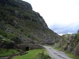 Gap of DunloeMountain pass · 2.0 mi
Explorer Tom The Gap of Dunloe cuts between Purple Mountain and MacGillycuddy's Reeks west of Killarney, with five small lakes…
 O'Sullivan's CascadeWaterfall · 2.0 mi
Explorer Tom O'Sullivan's Cascade is hiding in Tomies Wood on the western side of Killarney's Lough Leane, and Tom is convinced a…
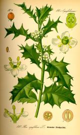 English holly2.1 mi
Explorer Tom English holly in County Kerry would complain to the council about the amount of bird droppings on its branches. It’s…
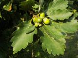 Sessile Oak2.1 mi
Explorer Tom A Sessile Oak in County Kerry watched a poet fall into the ditch nearby and get inspired by the mud. He wrote a sonnet…
 Fairy fort / earthen ringfort in MeallisFairy fort / earthen ringfort · 3.5 mi
Explorer Tom Fairy fort / earthen ringfort in Meallis has a cave next door and they argue over parking rights daily. The field…
 Fairy fort / earthen ringfort in CoolmagortFairy fort / earthen ringfort · 3.5 mi
Explorer Tom Fairy fort / earthen ringfort in Coolmagort holds the world record for being the most overgrown fortress without anyone…
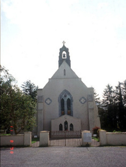 Saint Mary's Catholic ChurchChurch/chapel · 3.6 mi
Explorer Tom Saint Mary's Catholic Church in Coolmagort nearly got famous when a tourist mistook it for a movie set. It’s just a…
 Beaufort GAA pitchGAA ground · 3.9 mi
More mountains and hills in County Kerry · All of County Kerry

What do you know about this place?Tap to add a comment or ask a question