What is recorded here
Mature trees crown the twin earthen banks of a two-ring fort beside a Kerry roadway, hiding a dense interior from casual view. A probable causeway still cuts the northwest ditch, marking the entrance where people once entered a home or refuge. The fairies may have taken the place later, but the measured earth records that humans built, entered and lived there first.
Internal diam. 22m N-S, 21m E-W
This bivallate rath is located in pasture adjacent to a modern roadway. Mature trees crown the tops of both banks and its interior is largely obscured with dense vegetation. A high wall bounds the S side of the roadway and overlies the bank at NE. The outer bank rises to an average external height of .8m, has a basal width of 2.9m and falls a maximum of 1.4m to the base of the flat-bottomed, 4.75m wide, fosse. The flat-topped inner bank is largely composed of earth and gravel, rises 1.75m high externally, measures 4.5m in basal width and up to .8m above the featureless interior of the site. A probable causeway, 2.8m wide, traverses the fosse at NW and may represent the location of the original entrance.
The above description is derived from A. O'Sullivan and J. Sheehan (compilers), 'The Iveragh peninsula: an archaeological survey of South Kerry'. Cork University Press (1996), no. 494. In certain instances the entries have been revised and updated in the light of recent research.
Date of upload: 28 July 2013
The monument record does not grant public access. Check the route and ask the landowner before entering private land.
- What survives
- Recorded monument
Places near here
 Dunloe Ogham StonesHeritage attraction · 404 yd
 CaveMan-made underground passage · 469 yd
 ToberchreestHoly well · 513 yd
 Japanese pagoda treeJapanese pagoda tree · 819 yd
 European YewEuropean Yew · 844 yd
 Castle (in Ruins)Castle, tower house · 848 yd
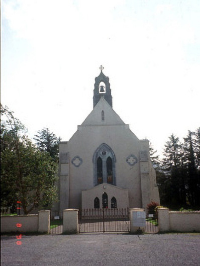 Saint Mary's Catholic Churchchurch/chapel · 906 yd
 KilnKiln, corn-drying · 1076 yd
 CastleCastle, tower house · 1283 yd
 Tomies Mountain North TopMountain / peak · 2.5 mi
 O'Sullivan's CascadeWaterfall · 3.0 mi
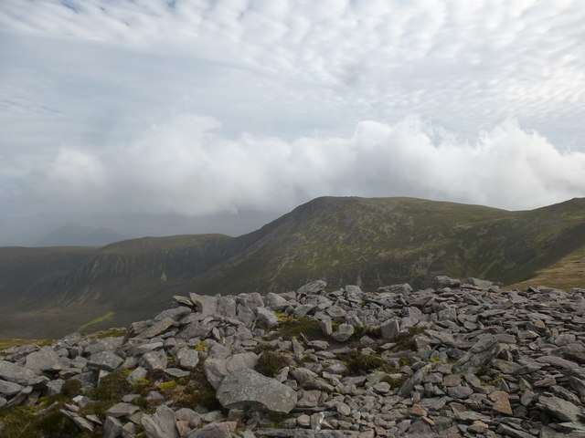 Tomies MountainMountain / peak · 3.0 mi