What is recorded here
Toberchreest/Tobar Críosta: This shallow, slab-lined well is located in woodland close to the W bank of the River Loe, a tributary of the Laune. It occurs at the base of a domed structure, roughly built in stone, which stands 1.52m high and measures 1.6m in diameter. The structure is surmounted by a modern iron cross.…
Read the whole record
From the National Monuments Service (Archaeological Survey of Ireland) record KE065-079
Places near here
Photo credits
- Berthold Strucken, Wikimedia Commons · CC BY-SA 4.0
- Wayne77, Wikimedia Commons · CC BY-SA 3.0
- Sitomon, Wikimedia Commons · CC BY-SA 2.0
- Mike Searle, Geograph · CC BY-SA 2.0
- Maker not stated on source page, ru.pinterest.com
- Maker not stated on source page, www.pinterest.com
- Maker not stated on source page, www.flickr.com
- PST Sport, installation contractor; individual aerial photographer not named, pstsport.com
- Maker not stated on source page, commons.wikimedia.org
- National Inventory of Architectural Heritage
- Maker not stated on source page, www.alamy.com
 Dunloe Ogham StonesHeritage attraction · 112 yd
Explorer Tom Eight ogham stones stand together at Coolmagort near Beaufort, and they have travelled through several lives without…
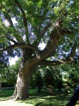 Japanese pagoda tree414 yd
Explorer Tom This Japanese pagoda tree in County Kerry has had more names than I’ve had jobs, and half of them are wrong. It loves…
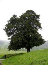 European Yew433 yd
Explorer Tom A European Yew in County Kerry hosted a dance that ended with someone stuck in the branches. The locals still whisper…
 Castle (in Ruins)Castle, tower house · 492 yd
Explorer Tom Castle in Dunloe Lower was built in 1215 by Maurice FitzGerald and has been burned several times since. It stands on a…
 Dunloe CastleRuins · 493 yd
Explorer Tom Dunloe Castle holds a fake world record for 'most dramatic view per square inch of ruin'. It sits on a cliff edge like…
 Fairy fort / earthen ringfort in CoolmagortFairy fort / earthen ringfort · 513 yd
Explorer Tom Fairy fort / earthen ringfort in Coolmagort holds the world record for being the most overgrown fortress without anyone…
 Church in Dunloe LowerChurch · 600 yd
Explorer Tom Church in Dunloe Lower confuses map makers because it likes to hide behind the hills. One guy named Willmus used to run…
 Beaufort GAA pitchGAA ground · 1050 yd
 Ogham stone (present location) in BeaufortOgham stone (present location) · 1283 yd
Explorer Tom Ogham stone in Beaufort is a slab standing by the Laune River with a ghost that’s too lazy to haunt it properly. It was…
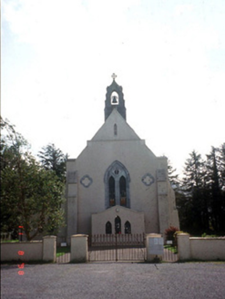 Saint Mary's Catholic ChurchChurch/chapel · 1335 yd
Explorer Tom Saint Mary's Catholic Church in Coolmagort nearly got famous when a tourist mistook it for a movie set. It’s just a…
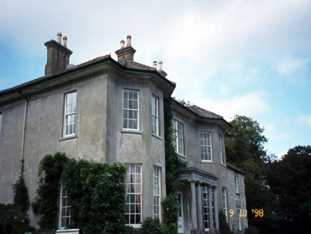 Beaufort HouseCountry house · 1370 yd
Explorer Tom Beaufort House would file a complaint with the council about the noise level of its own wind chimes. It’s U-shaped…
 Graveyard in KillaleeGraveyard · 1.6 mi
Explorer Tom Graveyard in Killalee was hidden under grass until some roadworks revealed eighteen pots and bones. The next village…
More archaeology and monuments in County Kerry · All of County Kerry

What do you know about this place?Tap to add a comment or ask a question