What is recorded here
Outline of irregular-shaped enclosure (approx. dims. 86m N-S x 50m E-W) overlooking Cornamagh Lough visible on Google earth aerial imagery and other OSi aerial photos.
See attached image taken from Google Earth aerial photographs taken 09/02/2018
Compiled by: Caimin O'Brien based on details provided by Jean-Charles Caillère
Date of upload: 6 March 2020
The monument record does not grant public access. Check the route and ask the landowner before entering private land.
- What survives
- Recorded monument
Places near here
 Catholic Church of Our Lady Queen of Peacechurch/chapel · 728 yd
 CastleCastle, unclassified · 1226 yd
 OutlinedFairy fort / earthen ringfort · 1501 yd
 Newcourtgates/railings/walls · 1506 yd
 Thatch IslandIslet · 1.0 mi
 Siege of Athlonesiege · 1.1 mi
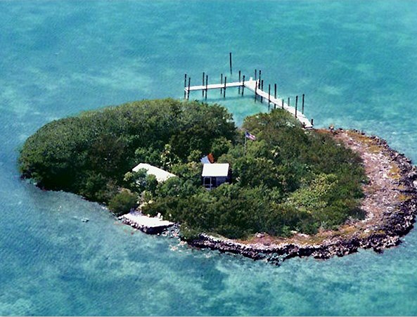 Charlie's IslandIslet · 1.2 mi
 Ancient WallTown defences · 1.2 mi
 1916 Centenery CommemorationMemorial · 1.3 mi
 Athlone Music MuseumMuseum · 1.3 mi