
What is recorded here
Promontory fort occupies the northwest edge of a Kerry island where spectacular sea-cliffs plunge from south through west to north and east. Two ancient banks mark its southeast side, while a hidden enclosure waits inside the cliff-bound circle. The ocean did most of the building, yet people shaped what remained. They stood where the land ends and the Atlantic begins, watching ships or waiting for storms.
This promontory fort occupies the irregularly shaped northwest portion of the island. It is defined from S through W to N to E by spectacularly plunging sea-cliffs. It is defined on its SE side by two banks (KE061-003002- and KE061-003003-) and also contains enclosure KE061-00101-. Two banks were noted along the northwest (KE061-003004-) and northeast (KE061-003002-) sides of the island.
Compiled by: Frank Coyne and Tracy Collins
Date of upload: 26 March 2007
The monument record does not grant public access. Check the route and ask the landowner before entering private land.
- What survives
- Recorded monument
Places near here
 Enclosure in Inis Mhic AoibhleáinEnclosure · 149 yd
 Field boundary in Inis Mhic AoibhleáinField boundary · 562 yd
 Inis Mhic UileáinIsland · 667 yd
 Church in Inis Mhic AoibhleáinChurch · 845 yd
 Inis na BróIslet · 1288 yd
 Rinn Chuas an ÉinHeadland · 1324 yd
 Inishtearaght LighthouseLighthouse · 2.7 mi
 An Cró MórMountain / peak · 3.6 mi
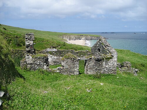 An Blascaod MórIsland · 4.3 mi
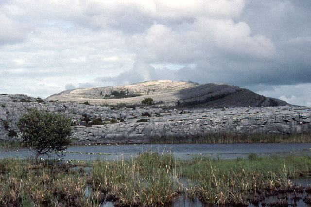 An Mullach RamharMountain / peak · 4.3 mi
 An Dún MórHeadland · 7.1 mi
 Dunmore HeadViewpoint · 7.1 mi
Other information
Photo: Credit not shown in the picture search · Rights wording not checked; contact us if this picture should be removed