
What is recorded here
This enclosure consists of a 6.5m wide square earthen grass-covered platform, which is surrounded by a 0.6m wide ditch, which is 0.35m below the crest of an enclosing bank. This bank is composed of earth and some stone, and is an average of 3.15m wide, and rises to a height of 0.5m above external ground level. A possible entrance occurs on the south side of the monument, where a 2.5m wide gap in the bank was noted.
Compiled by: Frank Coyne and Tracey Collins
Date of upload: 26 March 2007
The monument record does not grant public access. Check the route and ask the landowner before entering private land.
- What survives
- Recorded monument
Places near here
 Promontory fortPromontory fort, coastal · 149 yd
 Field boundary in Inis Mhic AoibhleáinField boundary · 424 yd
 Inis Mhic UileáinIsland · 518 yd
 Church in Inis Mhic AoibhleáinChurch · 696 yd
 Rinn Chuas an ÉinHeadland · 1179 yd
 Inis na BróIslet · 1339 yd
 Inishtearaght LighthouseLighthouse · 2.8 mi
 An Cró MórMountain / peak · 3.6 mi
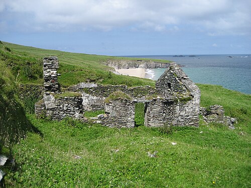 An Blascaod MórIsland · 4.3 mi
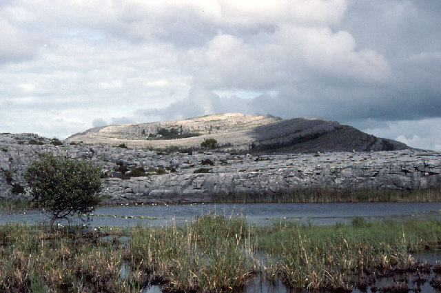 An Mullach RamharMountain / peak · 4.3 mi
 An Dún MórHeadland · 7.1 mi
 Dunmore HeadViewpoint · 7.1 mi
Other information
Photo: Credit not shown in the picture search · Rights wording not checked; contact us if this picture should be removed