
What is recorded here
This wall consists of a series of large flat slabs, some erect but mostly recumbent. It averages 0.70m wide, and averages 0.65m high. This wall extends in a westerly direction for a distance of 102m from the field/enclosure (KE061005001), and terminates near the cliff edge.
Compiled by: Frank Coyne and Tracy Collins
Date of upload: 30 May 2017
The monument record does not grant public access. Check the route and ask the landowner before entering private land.
- What survives
- Recorded monument
Places near here
 Inis Mhic UileáinIsland · 239 yd
 Church in Inis Mhic AoibhleáinChurch · 389 yd
 Enclosure in Inis Mhic AoibhleáinEnclosure · 424 yd
 Field system in Inis Mhic AoibhleáinField system · 472 yd
 Rinn Chuas an ÉinHeadland · 771 yd
 Inis na BróIslet · 1687 yd
 Inishtearaght LighthouseLighthouse · 3.0 mi
 An Cró MórMountain / peak · 3.7 mi
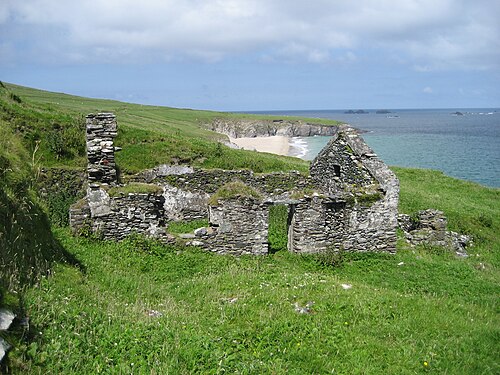 An Blascaod MórIsland · 4.4 mi
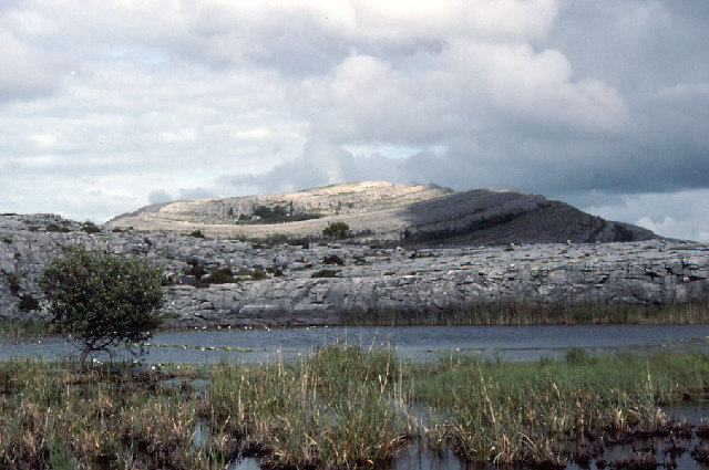 An Mullach RamharMountain / peak · 4.4 mi
 An Dún MórHeadland · 7.1 mi
 Dunmore HeadViewpoint · 7.2 mi
Other information
Photo: Credit not shown in the picture search · Rights wording not checked; contact us if this picture should be removed