
What is recorded here
Rinn Chuas an Éin is a headland composed primarily of Carboniferous limestone, formed around 340–320 million years ago through the accumulation of marine sediments. The area is notable for its coastal erosion features and potential fossil content, common in similar formations along the Irish coast.
Places near here
 Field system in Inis Mhic AoibhleáinField system · 480 yd
 Church in Inis Mhic AoibhleáinChurch · 547 yd
 Inis Mhic UileáinIsland · 687 yd
 Field boundary in Inis Mhic AoibhleáinField boundary · 772 yd
 Inis na BróIslet · 1.3 mi
 Inishtearaght LighthouseLighthouse · 3.5 mi
 An Cró MórMountain / peak · 3.7 mi
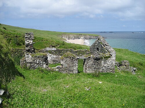 An Blascaod MórIsland · 4.4 mi
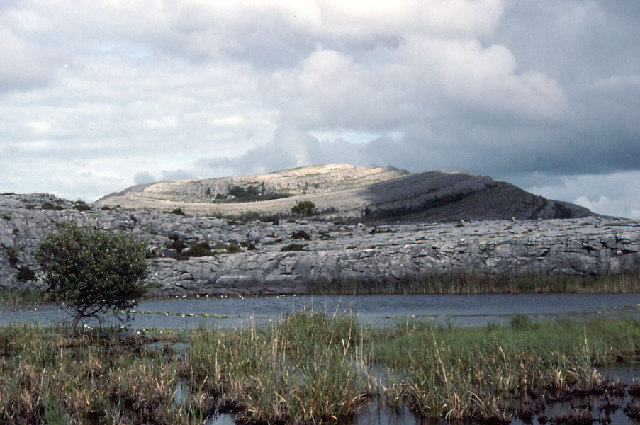 An Mullach RamharMountain / peak · 4.4 mi
 An Dún MórHeadland · 7.1 mi
 Dunmore HeadViewpoint · 7.1 mi
 Mionnán an DúnaHeadland · 7.3 mi
Other information
Photo: Credit not shown in the picture search · Rights wording not checked; contact us if this picture should be removed