
What is recorded here
Bailey Fort still blocks the narrow neck of Howth Head, its deep fosses and earthen banks forming two separate lines across a tongue of land that juts into Doldrum Bay. The sea would have closed one end while the ditches closed the other, leaving a thin strip where people could be watched, waited for or held. Roads, a lighthouse and an ordinary house have since cut through that old shape, but the broad ditch and long mound remain beneath the growth, preserving the feeling of a place made to resist entry.
A long, narrow headland projects into Doldrum Bay on the southeast corner of Howth Head. It is orientated NNW-SSE. Named 'Dun Griffen' on the 1837 OS 6-inch map, its defences are often referred to as the Bailey Fort. Westropp (1922, 61-2) identified two separated lines of defence across this headland. The outer line runs along the broad neck of the headland and comprises two lines of curving fosses with interveening earthen banks (outer fosse Wth 2.3-3m; D 1.5-2m; outer bank Wth 7.5m; H 2m; ; inner bank 3.3m; H 2.5m) best preserved in the N. The S end of the defences terminates at a stream. Roads extending N-S and E-W have cut through this end of the defences. The inner line of defence spans a narrowing in the headland and comprises a broad deep fosse (Wth 9.5m; D 3.25m). A low elongated mound, orientated NE-SW lies to the W of this fosse (Morris 1939, 181). A cashel erected in the SE tip of the headland was removed during construction of the Baily lighthouse (DU016-003002-; see Stokes 1893, 451). This construction work also revealed an extensive kitchen midden discovered at the base of the cliff (DU016-003003-; see Brunicardi 1914, 189). A house has been constructed to the west of the junction of the lanneways which may have impacted on the southern quadrant of the fosses. The site is extensively overgrown.
Compiled by: Geraldine Stout
Updated by: Christine Baker
Date of upload: 29 January 2015
The monument record does not grant public access. Check the route and ask the landowner before entering private land.
- What survives
- Recorded monument
Places near here
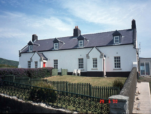 lighthouse keeper's houselighthouse keeper's house · 298 yd
 Fairy fort / stone ringfort in HowthFairy fort / stone ringfort · 470 yd
 Baily Lighthouselighthouse · 476 yd
 Bring CentreVisitor information · 641 yd
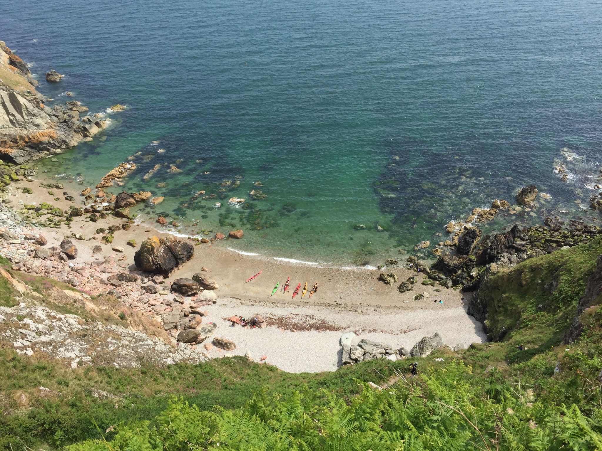 Hidden BeachBeach / strand · 745 yd
 Slí Fhine Gall - Binn Éadair - An MullachVisitor information · 928 yd
 Broad StrandBeach / strand · 1021 yd
 EIRE 6 signSecond World War neutrality sign · 1273 yd
 Ben of HowthMountain / peak · 1429 yd
 Howth Bog of the Frogs LoopWalking route · 1505 yd
 Picnic RockArchaeological place · 1719 yd
 Drumluck CastleCastle, unclassified · 1.0 mi
Other information
Photo: Credit not shown in the picture search · Rights wording not checked; contact us if this picture should be removed