What is recorded here
Dunboy’s identity depends on a vanished headland, perhaps lost to the Atlantic, perhaps never properly seen. That uncertainty is not a flaw, but the shape of the place: a fort remembered through absence. Any chamber built there must leave one doorway empty, pointing seaward toward the part that stopped returning.
Though Westropp (1921, 10) considers it 'precarious' to regard any place at Dunboy as a promontory fort, he does follow on to state that 'Pacata Hibernia certainly describes some sort of fortified headland here', suggesting that this was the remains of an earlier fortification. The exact location of this 'fortified headland' is not known.
The above description is derived from 'The Archaeological Inventory of County Cork. Volume 5' (Dublin: Stationery Office, 2009).
Date of upload: 22 December 2009
The monument record does not grant public access. Check the route and ask the landowner before entering private land.
- What survives
- Recorded monument
Places near here
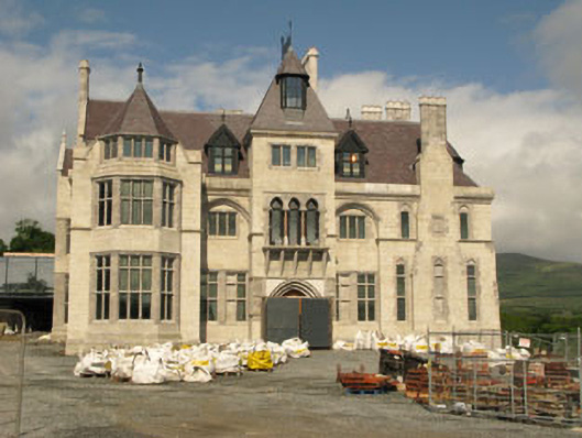 Dunboy Castlecastle/fortified house · 283 yd
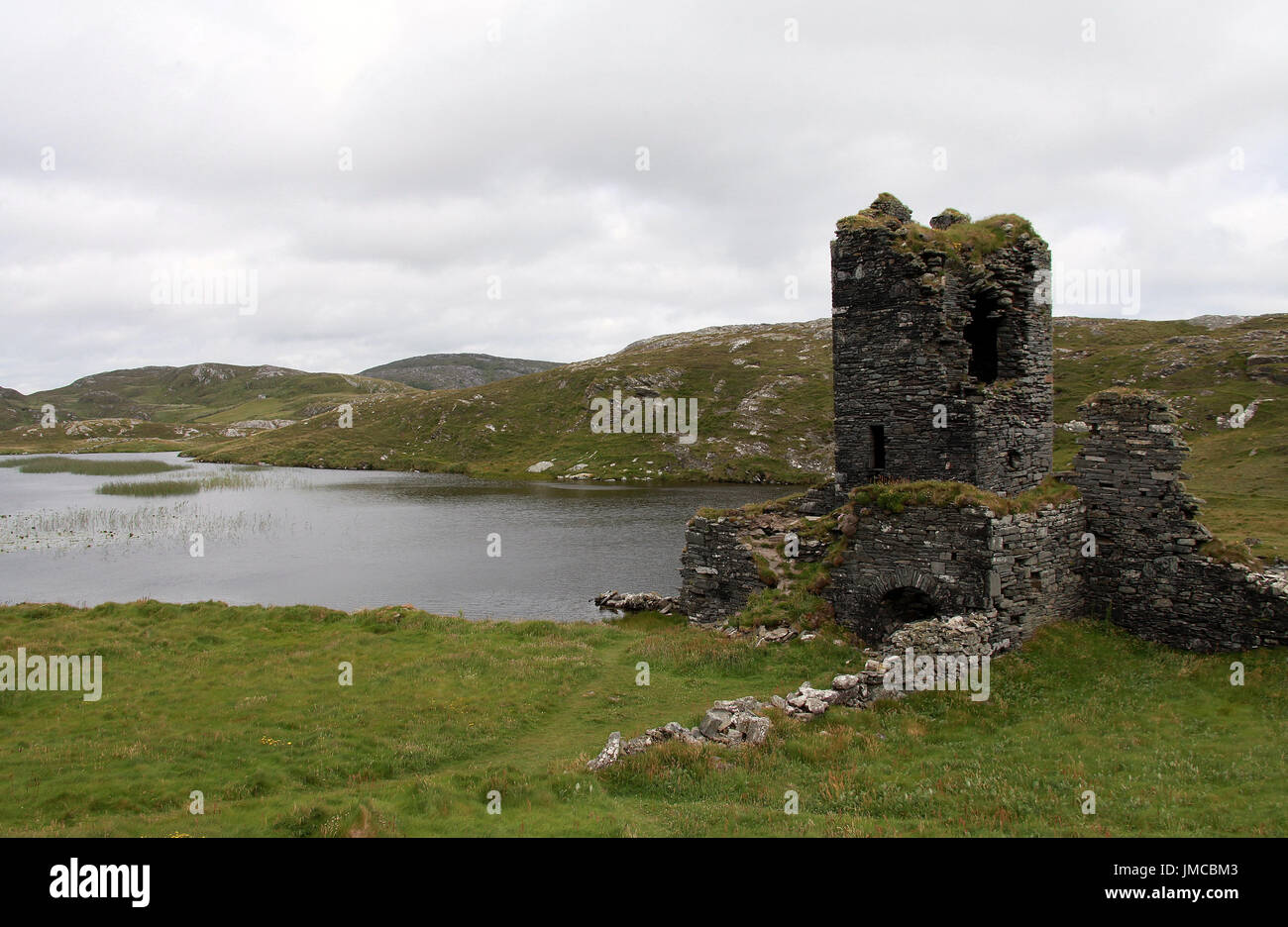 Hut site in DunboyHut site · 549 yd
 TraneenBeach / strand · 560 yd
 Castle (in Ruins)Castle, tower house · 603 yd
 Dunboy WoodForest · 635 yd
 Siege of Dunboysiege · 644 yd
 Enclosure in DisertEnclosure · 678 yd
 Heath Mounthouse · 1134 yd
 Ardnakinna West Island LoopWalking route · 1.3 mi
 Burial ground in DerrycreeveenBurial ground · 1.4 mi
 Sheep IslandsIslet · 1.5 mi
 Sarah Walker GalleryGallery · 1.5 mi