
What is recorded here
In pasture, on a small natural knoll. According to local information, there is a raised circular area (diam. c. 10m), known as 'the lios', on the flat top of the knoll. However, it is inaccessible due to a heavy growth of rhododendrons, briars, ferns and bushes. The field boundary depicted on the 1901 OS 6-inch map immediately to the S curves (C 13m) SE-SW as if to respect a circular enclosure.
The above description is derived from 'The Archaeological Inventory of County Cork. Volume 5' (Dublin: Stationery Office, 2009).
Date of upload: 22 December 2009
A local fairy fort (ringfort/rath); wider significance not recorded.
The monument record does not grant public access. Check the route and ask the landowner before entering private land.
- What survives
- Recorded monument
Places near here
 Dunboy WoodForest · 166 yd
 TraneenBeach / strand · 229 yd
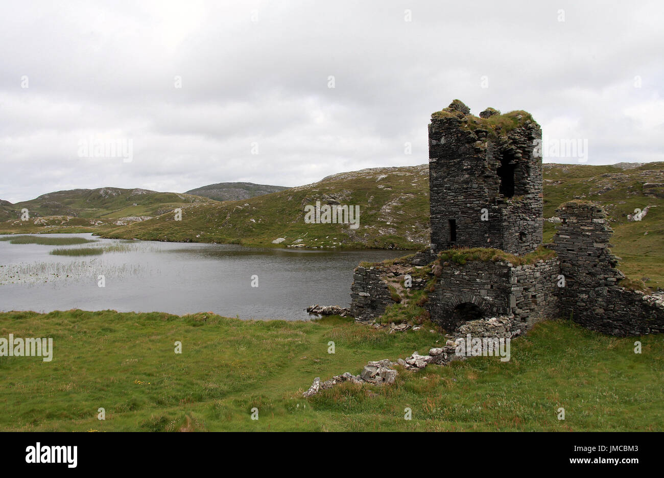 Hut site in DunboyHut site · 840 yd
 Dunboy CastleRuins · 930 yd
 Siege of Dunboysiege · 930 yd
 Castle (in Ruins)Castle, tower house · 931 yd
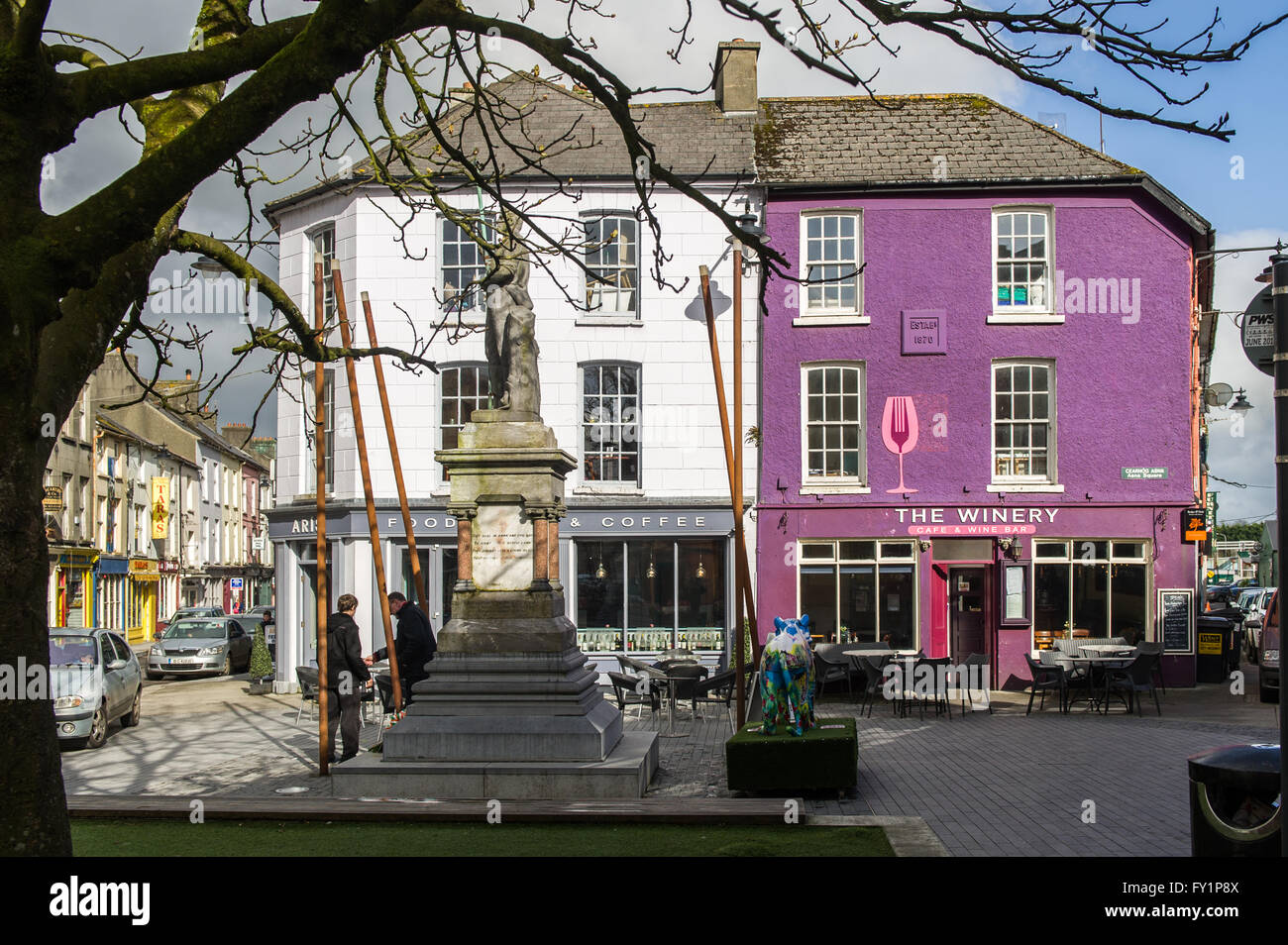 DoonigarPromontory fort, coastal · 1075 yd
 Ardnakinna Point LighthouseLighthouse · 1357 yd
 Ardnakinna Lighthousebeacon · 1360 yd
 Ardnakinna West Island LoopWalking route · 1.2 mi
 Burial ground in DerrycreeveenBurial ground · 1.5 mi
 Sheep IslandsIslet · 1.6 mi
Other information
Photo: Credit not shown in the picture search · Rights wording not checked; contact us if this picture should be removed