What is recorded here
Within a coniferous wood, on a NE-facing slope c. 70m to SW of O'Sullivan Bere's castle (CO128-001002-) at Dunboy. The remains of a circular hut site (diam. 4m) defined by a poorly preserved stone wall (H 0.3-0.7m) which has been cut into the upslope E-W. The entrance (Wth 0.75m) at the NE leads out to a level area. A coniferous tree is growing in the interior, which is obscured by rubble.
The above description is derived from 'The Archaeological Inventory of County Cork. Volume 5' (Dublin: Stationery Office, 2009).
Date of upload: 22 December 2009
The monument record does not grant public access. Check the route and ask the landowner before entering private land.
- What survives
- Recorded monument
Places near here
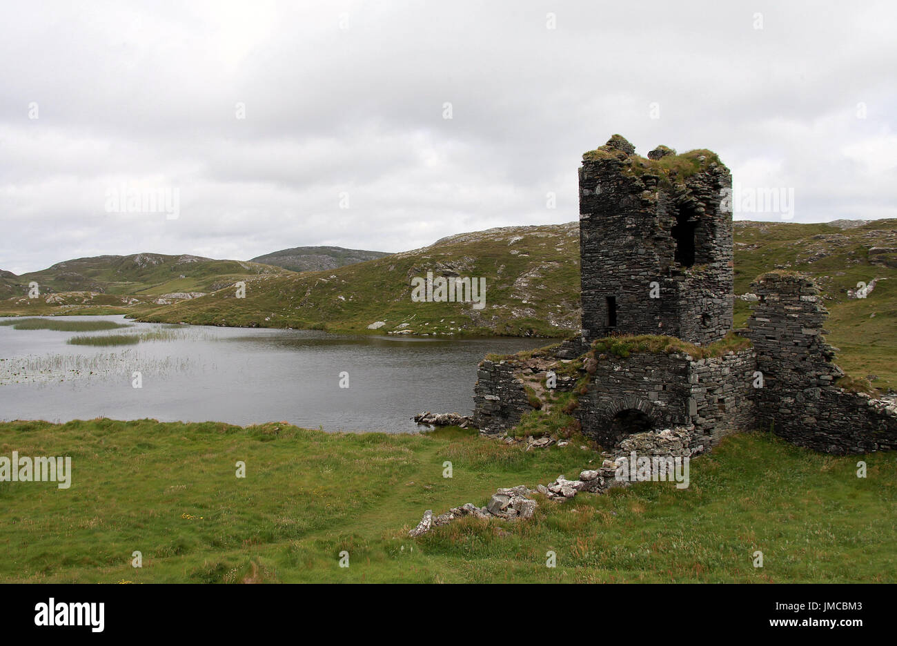
 Dunboy CastleRuins · 90 yd
 Castle (in Ruins)Castle, tower house · 92 yd
 Siege of Dunboysiege · 103 yd
 TraneenBeach / strand · 615 yd
 Dunboy WoodForest · 697 yd
 Enclosure in DisertEnclosure · 840 yd
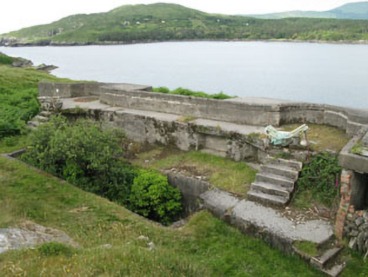 batterybattery · 1161 yd
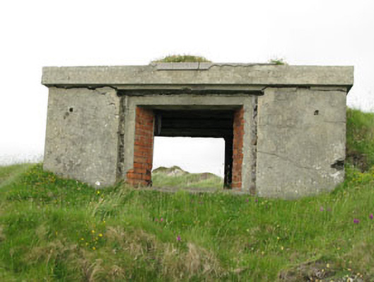 pill boxpill box · 1164 yd
 DoonigarPromontory fort, coastal · 1427 yd
 Ardnakinna West Island LoopWalking route · 1.0 mi
 Burial ground in DerrycreeveenBurial ground · 1.1 mi
 Sheep IslandsIslet · 1.2 mi
Other information
Photo: Credit not shown in the picture search · Rights wording not checked; contact us if this picture should be removed