
What is recorded here
Promontory fort stands on the County Cork coast, where ancient hands likely cut stone or earth against the sea. It is a coastal defence, built to watch water and sky, perhaps to keep out invasion or simply to mark ownership of the cliff edge. The fort still belongs to the place, even when people stop naming it.
The Archaeological Survey of Ireland (ASI) is in the process of providing information on all monuments on The Historic Environment Viewer (HEV). Currently the information for this record has not been uploaded. To access available information for research purposes please make an appointment in advance with the Archive Unit (open Fridays 10.00 am – 5.00 pm), Department of Housing, Local Government and Heritage, The Custom House, Dublin 1 D01W6XO or email NMarchive@housing.gov.ie.
The monument record does not grant public access. Check the route and ask the landowner before entering private land.
- What survives
- Recorded monument
Places near here
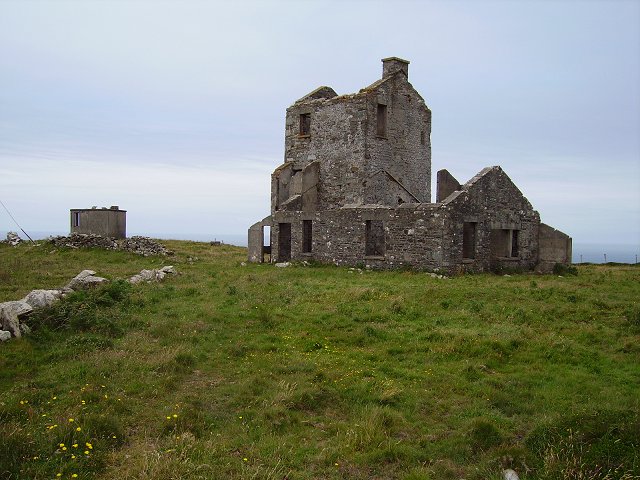 Cloghane Signal Towersignal tower · 460 yd
 Field boundary in Cloghane (carbery W. (w.d.) By.)Field boundary · 542 yd
 Enclosure in Cloghane (carbery W. (w.d.) By.)Enclosure · 605 yd
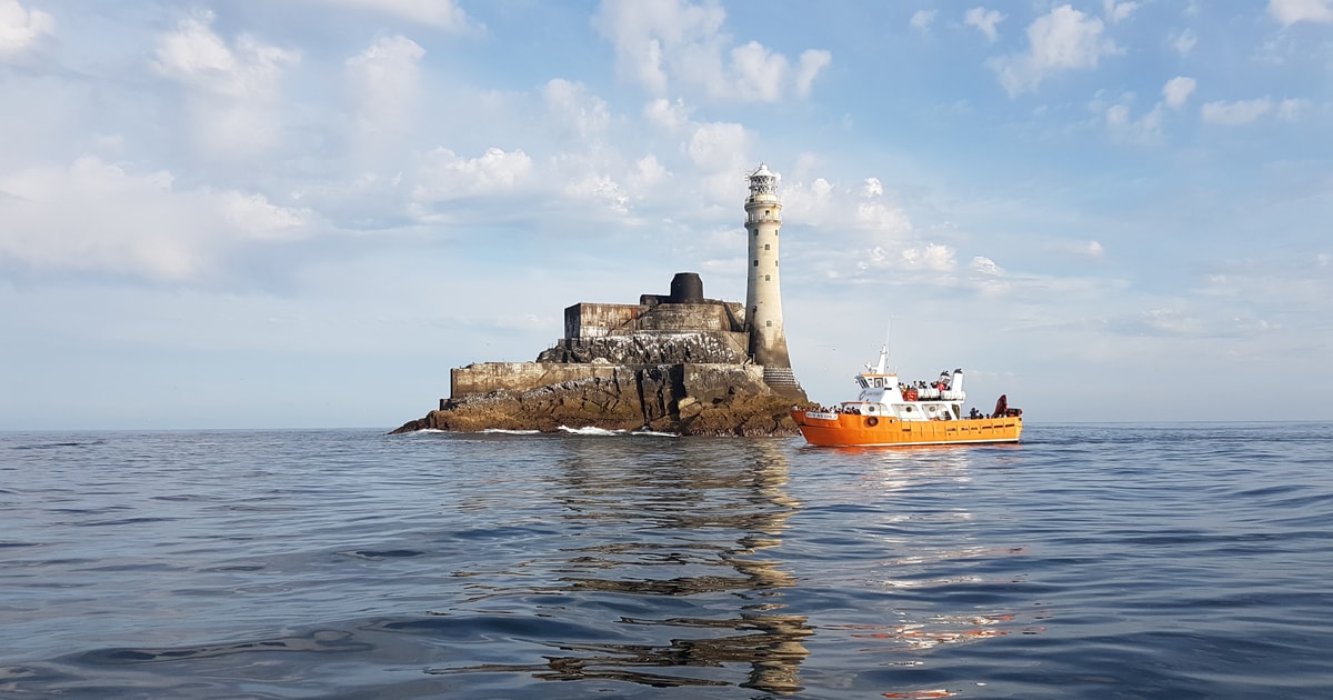 Fastnet Lighthouse Centenary Stone-CourseMemorial · 782 yd
 Mizen Bridgefoot bridge · 830 yd
 Mizen Head Visitors CentreHeritage attraction · 850 yd
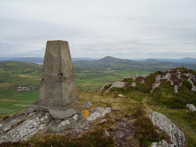 Mizen PeakMountain / peak · 907 yd
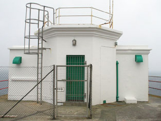 Mizen Head Signal Stationsignal tower · 962 yd
 Three Castles (in Ruins)Castle, tower house · 1.8 mi
 Chimney CoveBeach / strand · 2.0 mi
 Castle (Site of)Castle, unclassified · 2.2 mi
 Creamery PlatformMemorial · 2.5 mi
Other information
Photo: Credit not shown in the picture search · Rights wording not checked; contact us if this picture should be removed