
What is recorded here
Half-buried in cutaway bog east of Mizen Head, a forgotten grid of stone walls still marks fields no one lives in anymore. The turf cutters did not seek history when they took the bog; they merely stripped away the years that had smothered the boundaries. For a moment the old shape emerged, stiff and angular beneath the heather, before the wet earth closed over it again.
In rough pasture interspersed with heather and gorse, in a level area of cutaway bog to the E of Mizen Head. Turf-cutting has exposed the remains of a network of collapsed, relict, stone field boundaries (T 0.4-0.8m; H 0.05-0.4m) which protrude intermittently above the surface of the remaining shallow bog. The relict walls, which appear to be set on the underlying mineral soil, occur intermittently in a roughly rectangular area (c. 350m NE-SW; c. 50m NW-SE). Sections of the field walls are visible as a low linear ridge through which occasional stones protrude. Upright stones, up to 1.2m high, appear at irregular intervals along the mainly linear NE-SW wall. A more recent NE-SW stone field boundary runs parallel c. 20m to the NW.
The above description is derived from 'The Archaeological Inventory of County Cork. Volume 5' (Dublin: Stationery Office, 2009).
Date of upload: 22 December 2009
The monument record does not grant public access. Check the route and ask the landowner before entering private land.
- What survives
- Recorded monument
Places near here
 Enclosure in Cloghane (carbery W. (w.d.) By.)Enclosure · 220 yd
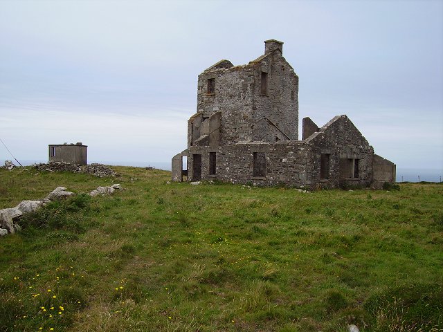 Cloghane Signal Towersignal tower · 319 yd
 Promontory fortPromontory fort, coastal · 542 yd
 Mizen Head Visitors CentreHeritage attraction · 594 yd
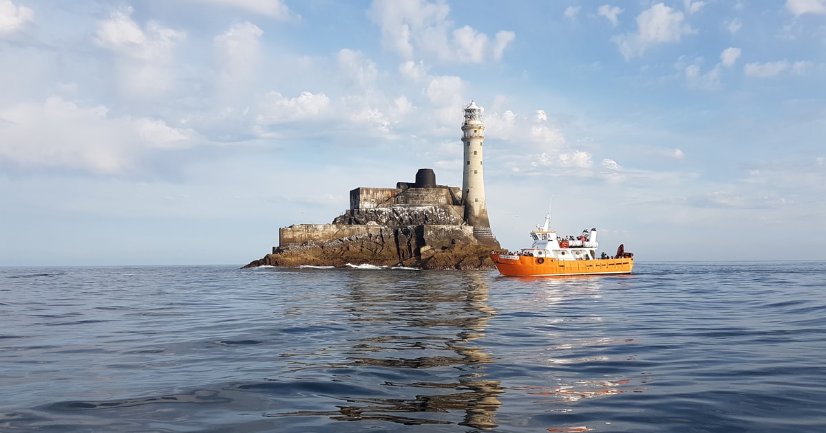 Fastnet Lighthouse Centenary Stone-CourseMemorial · 701 yd
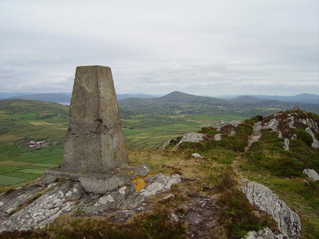 Mizen PeakMountain / peak · 706 yd
 Mizen Bridgefoot bridge · 832 yd
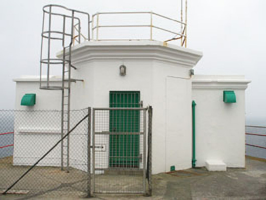 Mizen Head Signal Stationsignal tower · 1053 yd
 Chimney CoveBeach / strand · 1.8 mi
 Three Castles (in Ruins)Castle, tower house · 2.0 mi
 Castle (Site of)Castle, unclassified · 2.1 mi
 Creamery PlatformMemorial · 2.4 mi
Other information
Photo: Credit not shown in the picture search · Rights wording not checked; contact us if this picture should be removed