
What is recorded here
In rough pasture, in cutaway bog, on a S-facing slope to the E of Mizen Head. A roughly rectangular area (21m N-S; 16m E-W) defined by a partially grass-covered collapsed stone wall (T 0.4m; H 0.3m) which protrudes above the remaining shallow bog. Stones also appear through the bog along the enclosing element internally and externally.
The above description is derived from 'The Archaeological Inventory of County Cork. Volume 5' (Dublin: Stationery Office, 2009).
Date of upload: 22 December 2009
The monument record does not grant public access. Check the route and ask the landowner before entering private land.
- What survives
- Recorded monument
Places near here
 Field boundary in Cloghane (carbery W. (w.d.) By.)Field boundary · 220 yd
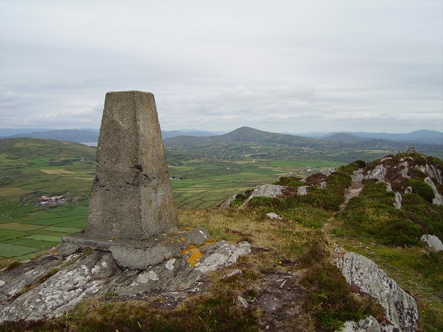 Mizen PeakMountain / peak · 487 yd
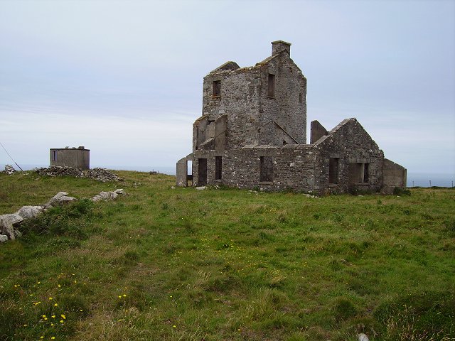 Cloghane Signal Towersignal tower · 525 yd
 Promontory fortPromontory fort, coastal · 605 yd
 Mizen Head Visitors CentreHeritage attraction · 809 yd
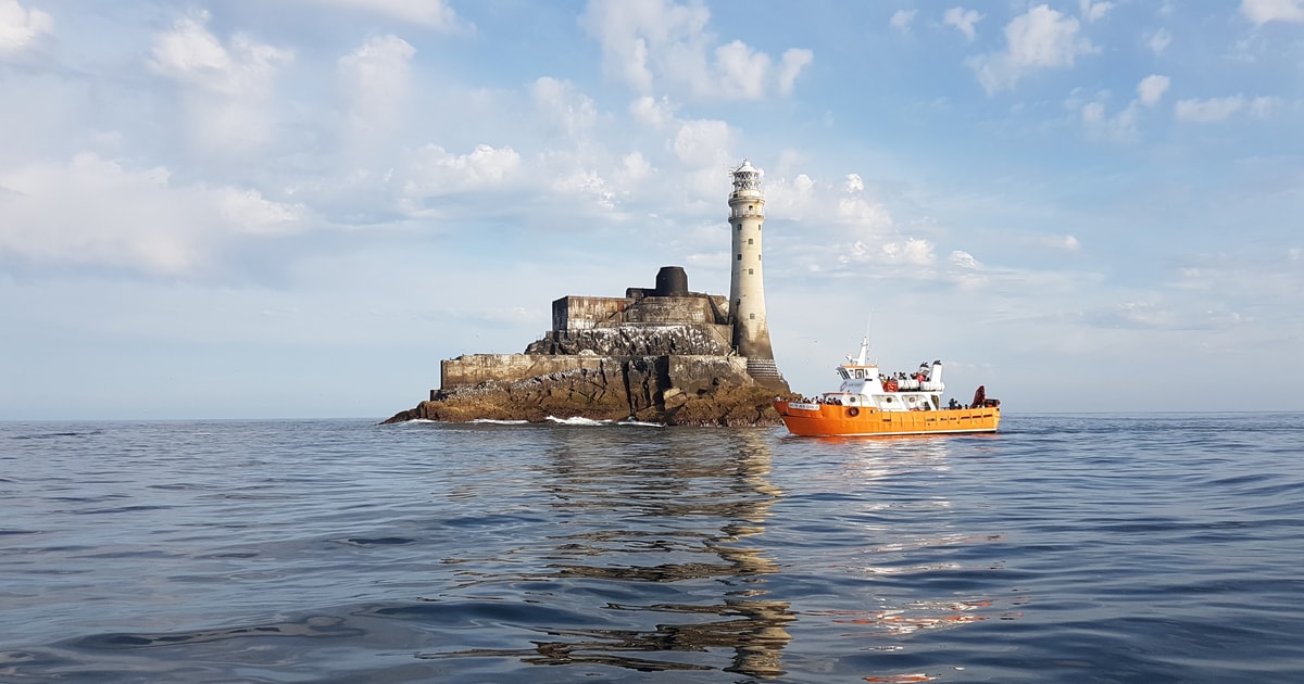 Fastnet Lighthouse Centenary Stone-CourseMemorial · 919 yd
 Mizen Bridgefoot bridge · 1046 yd
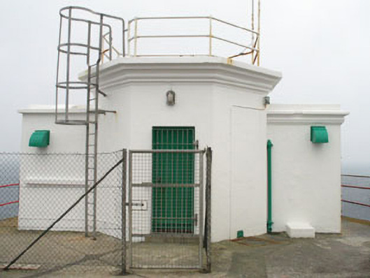 Mizen Head Signal Stationsignal tower · 1262 yd
 Chimney CoveBeach / strand · 1.7 mi
 Castle (Site of)Castle, unclassified · 1.9 mi
 Three Castles (in Ruins)Castle, tower house · 1.9 mi
 Creamery PlatformMemorial · 2.3 mi
Other information
Photo: Credit not shown in the picture search · Rights wording not checked; contact us if this picture should be removed