What is recorded here
Promontory fort is a coastal promontory fort in Carrownrush (tireragh By., Easky East Ed), County Sligo, Ireland. The approximately triangular area extends northeast into Sligo Bay, bounded by steep sea cliffs and a narrow inlet marked Oughwore on the 1913 map. A low earth and stone bank cuts the promontory from surrounding land at the west, appearing as a relatively modern feature rather than an ancient defensive wall.
Not marked on any edition of the OS 6-inch map. Approximately triangular area (13 NW-SE; 11.5m NE-SW) extending NE into Sligo Bay. At NE this is defined by steep sea cliffs and at S by a narrow E-W inlet marked 'Oughwore' on the 1913 edition of the map. The promontory is cut off from the surrounding land at W by a low bank (Wth 1.2m; H 0.3-0.5m) of earth and stone which appears to be a relatively modern feature. Within the same townland, 60m to NW there is a second possible promontory fort (SL012-006----). (M. Casey 1988, pers. comm.)
Compiled by: Patrick F. O'Donovan
Date of upload: 19 January 2011
The monument record does not grant public access. Check the route and ask the landowner before entering private land.
- What survives
- Recorded monument
Places near here
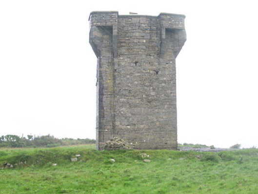 Carrownrush Towersignal tower · 1010 yd
 Enclosure in Carrownrush (tireragh By., Easky East Ed),carrowmablyEnclosure · 1024 yd
 DonaghHeadland · 1302 yd
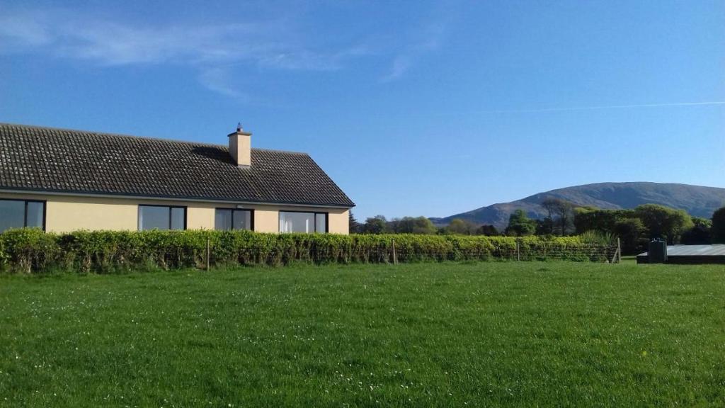 Hut site in Aughris (tireragh By.)Hut site · 1398 yd
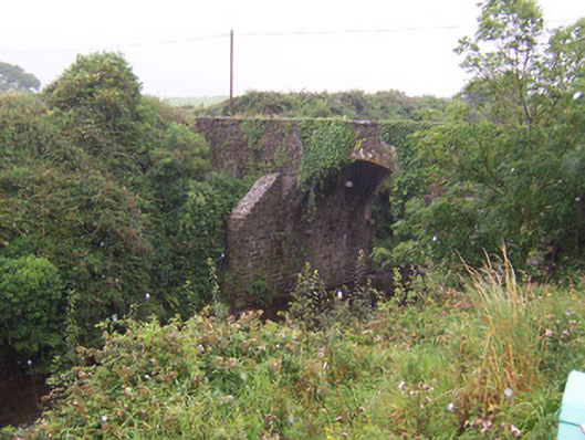 Donaghintraine Bridgebridge · 1.0 mi
 Site of Dunneill CastleCastle, unclassified · 1.4 mi
 Split RockNamed rock · 2.1 mi
 Ballynahowna CastleCastle, tower house · 2.3 mi
 Jim Smith MemorialMemorial · 3.2 mi
 Wild Atlantic Way: Easky PierVisitor information · 3.7 mi
 Aughris BeachBeach / strand · 4.8 mi
 Eamonn's TopMountain / peak · 6.8 mi