What is recorded here
The following description is derived from both the published 'Archaeological Inventory of County Louth' (Dublin: Stationery Office, 1986) and the 'Archaeological Survey of County Louth' (Dublin: Stationery Office, 1991). In certain instances the entries have been revised and updated in the light of recent research.
Date of upload/revision: 17 July 2007
Part of fieldwalking collection by D. Hodgers (CLAJ 1979, 227-38) in area of Haggardstown townland, Newtownbalregan townland (see LH007-116----) and Dromiskin townland (LH015-021----) which yielded a mixture of flints, mainly primary flakes with some cores.
The monument record does not grant public access. Check the route and ask the landowner before entering private land.
- What survives
- Recorded monument
Places near here
 IndicatedCastle, unclassified · 111 yd
 Church (in Ruins)Church · 212 yd
 CastleCastle, unclassified · 261 yd
 Enclosure in HaggardstownEnclosure · 707 yd
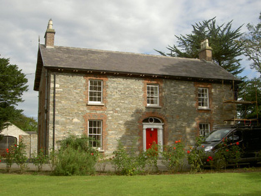 Seafield Househouse · 823 yd
 SundialMonument · 1161 yd
 Broad WoodForest · 1.3 mi
 Long WoodForest · 1.4 mi
 BallybarrackMountain / peak · 2.2 mi
 Louth County MuseumMuseum · 2.6 mi
 Bombing 1975Memorial · 2.7 mi
 Maid of ErinMemorial · 2.7 mi