What is recorded here
The following description is derived from both the published 'Archaeological Inventory of County Louth' (Dublin: Stationery Office, 1986) and the 'Archaeological Survey of County Louth' (Dublin: Stationery Office, 1991). In certain instances the entries have been revised and updated in the light of recent research.
Date of upload/revision: 17 July 2007
Fieldwalking in ploughed areas of the townlands of Ganderstown, Clogher and Newtown (see also LH022-039---- and LH022-040----) by D. Hodgers (CLAJ 1979, 227-38) produced a mixture of 33 primary flakes, 6 cores and a flake implement.
The monument record does not grant public access. Check the route and ask the landowner before entering private land.
- What survives
- Recorded monument
Places near here
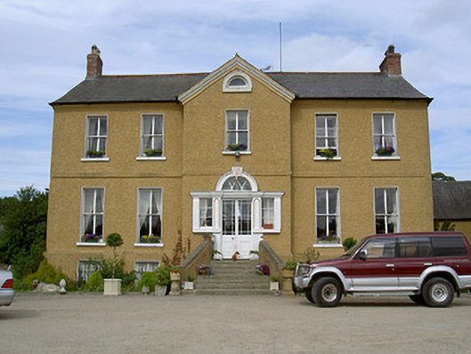 Rath Housecountry house · 1342 yd
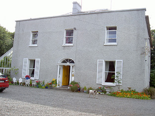 Glaspistol Househouse · 1447 yd
 Castle RuinsCastle, tower house · 1476 yd
 LismanaghanEcclesiastical site · 1505 yd
 Termonfeckin CastleCastle · 1.3 mi
 Man-made underground passage in ClogherMan-made underground passage · 1.3 mi
 Beaulieu House and GardensHeritage attraction · 3.7 mi
 Chapel (in Ruins), GraveyardChurch · 4.1 mi
 Moneyveg WoodForest · 4.7 mi
 Graveyard in DysartGraveyard · 5.1 mi
 Sweet baySweet bay · 5.1 mi
 Tullydonnell HillMountain / peak · 6.1 mi