What is recorded here
Map note: The map marks Pre-military Road as a road in Argyll and Bute, Scotland. The map has the location of the mystery, though not all its answers.
Places near here
Photo credits
- Chris Wimbush, Wikimedia Commons · CC BY-SA 2.0
- Maker not stated on source page, commons.wikimedia.org
- Maker not stated on source page, www.youtube.com
- Patrick Mackie, Wikimedia Commons · CC BY-SA 2.0
- Maker not stated on source page, www.pinterest.com
- Douglas Nelson, Wikimedia Commons · CC BY-SA 2.0
- Maker not stated on source page, au.pinterest.com
- Maker not stated on source page, de.vecteezy.com
- David P Howard, Wikimedia Commons · CC BY-SA 2.0
- Rich Tea, Wikimedia Commons · CC BY-SA 2.0
- Peter McDermott, Wikimedia Commons · CC BY-SA 2.0
 Sron-gharbhBuilding · 595 yd
 Allt Pharuig BridgeBridge · 657 yd
 Inveraray Castle Estate, Tom Breac DairyDairy (18th Century) · 1124 yd
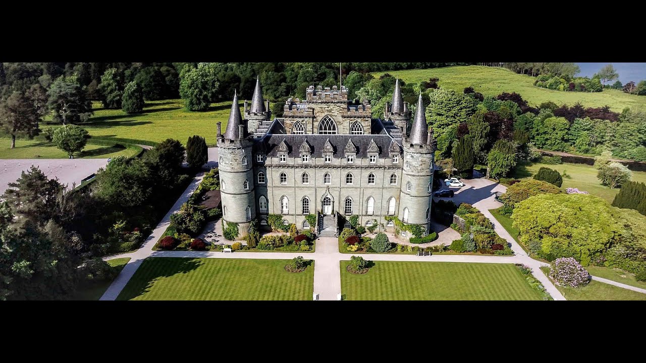 Inveraray Castle Estate, Carloonan BridgeRoad Bridge (18th Century) · 1261 yd
 High BalantyreBuilding (possible), Enclosure · 1422 yd
 Inveraray Castle Estate, Carloonan, LimekilnLime Kiln (18th Century) · 1448 yd
 Dun Na CuaicheFort · 1.3 mi
 Inveraray Castle Estate, Malt Land, Gardener's HouseGardeners Lodge · 1.3 mi
 Inveraray Castle Estate, Malt Land, Kitchen Walled GardenWalled Garden (18th Century) · 1.3 mi
 Dubh Loch, Glen ShiraCastle (medieval) · 1.6 mi
Explorer Tom Dubh Loch, Glen Shira is a medieval castle near a dark loch, which sounds like a perfect hiding spot. Take a spooky…
 Old Inveraray CastleCastle (medieval) · 1.7 mi
Explorer Tom Old Inveraray Castle is a medieval wreck next to the new one. It’s like comparing your dad to your son. Take a picture…
 Loch ShiraBay · 1.9 mi
More historic places in Argyll and Bute · All of Argyll and Bute

What do you know about this place?Tap to add a comment or ask a question