What is recorded here
Natural cave with no evidence of any archaeological activity within this cave (pers. comm. Dr. Marion Dowd; Dowd 2015, 57). Although there is no recorded archaeological activity inside the fact that it has not been investigated thoroughly in modern times may suggest that it still could has some archaeological…
Read the whole record
From the National Monuments Service (Archaeological Survey of Ireland) record LI022-142
Places near here
Photo credits
- Maker not stated on source page, www.pinterest.com
- Maker not stated on source page, uk.pinterest.com
- Maker not stated on source page, www.geograph.ie
- Maker not stated on source page, en.wikipedia.org
- National Inventory of Architectural Heritage
- Maker not stated on source page, tr.pinterest.com
- Maker not stated on source page, evoke.ie
- Maker not stated on source page, www.ancient-origins.net
- Kmcnamee, Wikimedia Commons · CC BY-SA 4.0
 Castle in ruinsCastle, unclassified · 713 yd
Explorer Tom Castle in ruins in Skoolhill refuses to fall down because it’s stubborn as an old boot. It claims King John built it…
 Fairy fort / stone ringfort in SkoolhillFairy fort / stone ringfort · 942 yd
Explorer Tom Fairy fort / stone ringfort in Skoolhill has a shortcut that isn't actually a shortcut, but a very long walk around the…
 Fairy fort / earthen ringfort in FedamoreFairy fort / earthen ringfort · 1101 yd
Explorer Tom Fairy fort / earthen ringfort in Fedamore hates modern buildings because they have no personality. The bank is mostly…
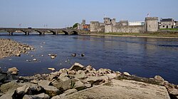 Site of CastleCastle, unclassified · 1300 yd
Explorer Tom Site of Castle in Castlequarter nearly got sold for a horse, but the buyer backed out when he saw how little stone was…
 Fedamore HouseCountry house · 1534 yd
Explorer Tom Fedamore House hears the ghosts arguing about whose turn it is to water the garden through those thick old walls. It…
 CastleCastle, unclassified · 1535 yd
Explorer Tom Castle in Cloghadoolarty North would have 'Here lies nothing' written on its tombstone if it had one worth carving. The…
 Fairy fort / earthen ringfort in GortgarraltFairy fort / earthen ringfort · 1568 yd
Explorer Tom Fairy fort / earthen ringfort in Gortgarralt would survive Big Brother by just sitting in the mud and letting everyone…
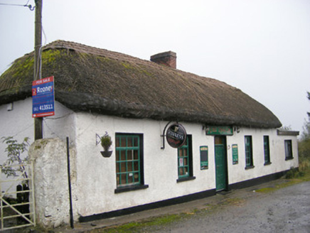 The ThatchHouse · 1.0 mi
Explorer Tom The Thatch in Fedamore had a cow that tried to buy it, convinced it was just a fancy barn with extra steps. It retains…
 Standing stone in DrominycarraStanding stone · 1.1 mi
Explorer Tom Standing stone in Drominycarra is just a memory now, after a poet fell into the ditch nearby and ruined it forever. The…
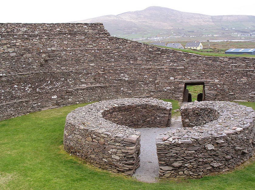 Fairy fort / earthen ringfort in Ballyea (smallcounty By.)Fairy fort / earthen ringfort · 1.2 mi
Explorer Tom Fairy fort / earthen ringfort in Ballyea has a retirement plan involving being covered by a modern bungalow. One-third…
 Fedamore GAA pitchGAA ground · 1.5 mi
 Glenogra BridgeBridge · 1.6 mi
Explorer Tom Glenogra Bridge in Glenogra is elegant enough that a cow once tried to buy it for its cut limestone. The random rubble…
More caves in County Limerick · All of County Limerick

What do you know about this place?Tap to add a comment or ask a question